
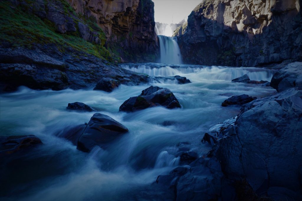
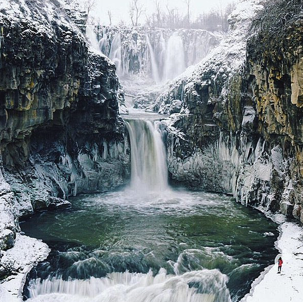
Introduction of White River Falls State Park
East of the Cascade Range and south of the Columbia River Gorge lies the White River. The river flows for approximately 53 miles from its headwaters on Mt. Hood to its confluence with the Deschutes River just above Sherar’s Bridge. Except for a 0.6-mile stretch at White River Falls, the entire river is designated wild and scenic. The upper segments are managed by the US Forest Service, while the lower segments are managed by the Bureau of Land Management.
Camping
Activities
Location
White River Falls State Park Trails
Looking for the best trails in White River Falls State Park for a challenging hike or a family outing? There are 1 great hiking trail, biking trail, running trails, and more on AllTrails. Enjoy hand-curated trail maps, as well as reviews and photos from other nature enthusiasts.
Are you prepared for your next hike or bike ride? We’ve got you covered with trails ranging in elevation gain from 52 to 52 meters. Whatever you have planned for the day, White River Falls State Park has the perfect trail for you.
Parking
During the winter, the parking lot closes seasonally, but there is still limited roadside parking available.
Public Transport
Public Transport is not available
