
Introduction of Rooster Rock State Park
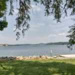
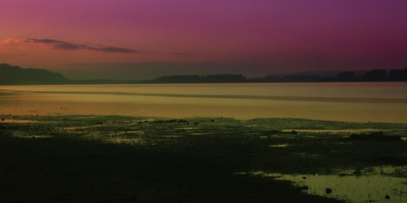
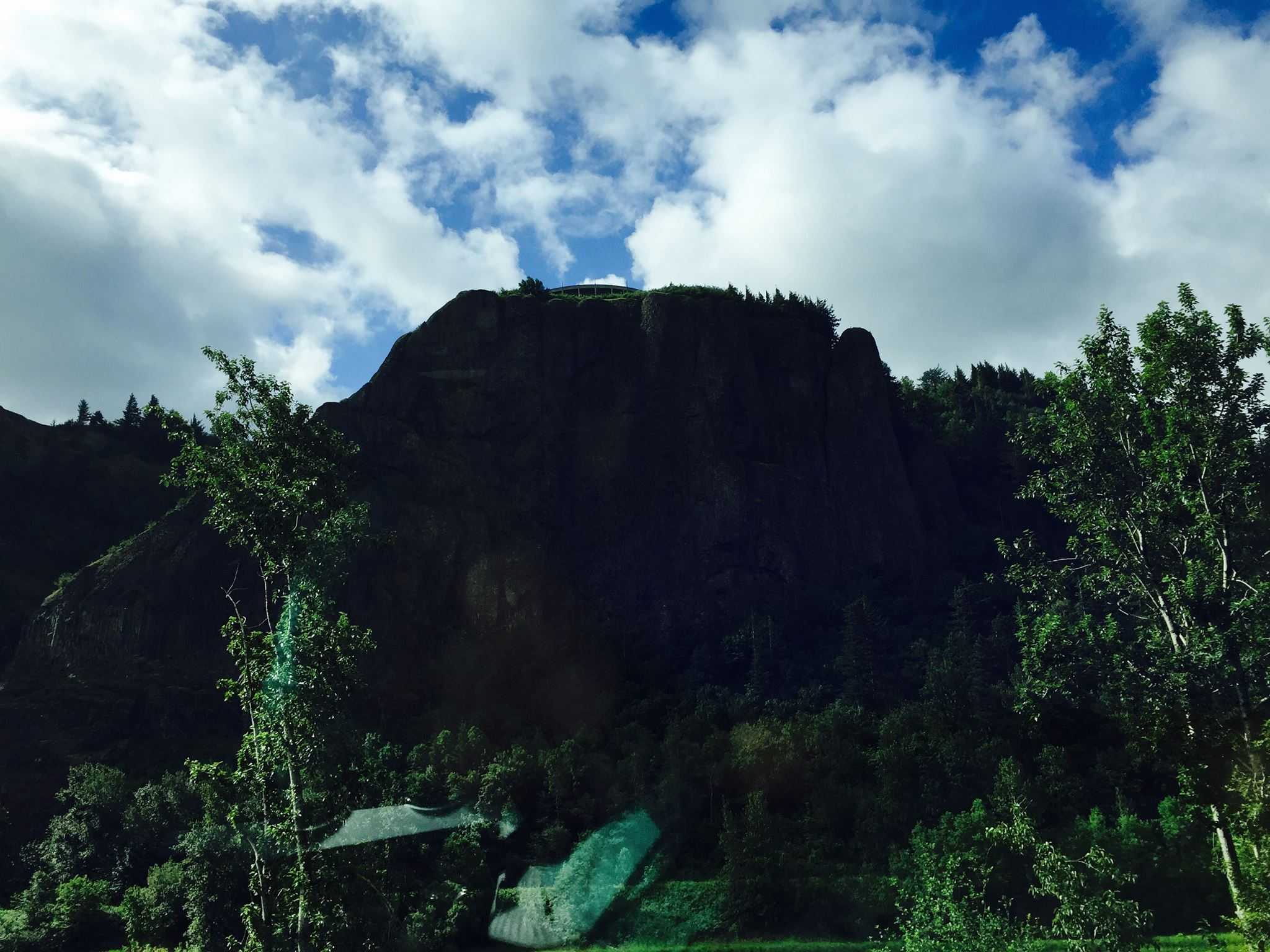
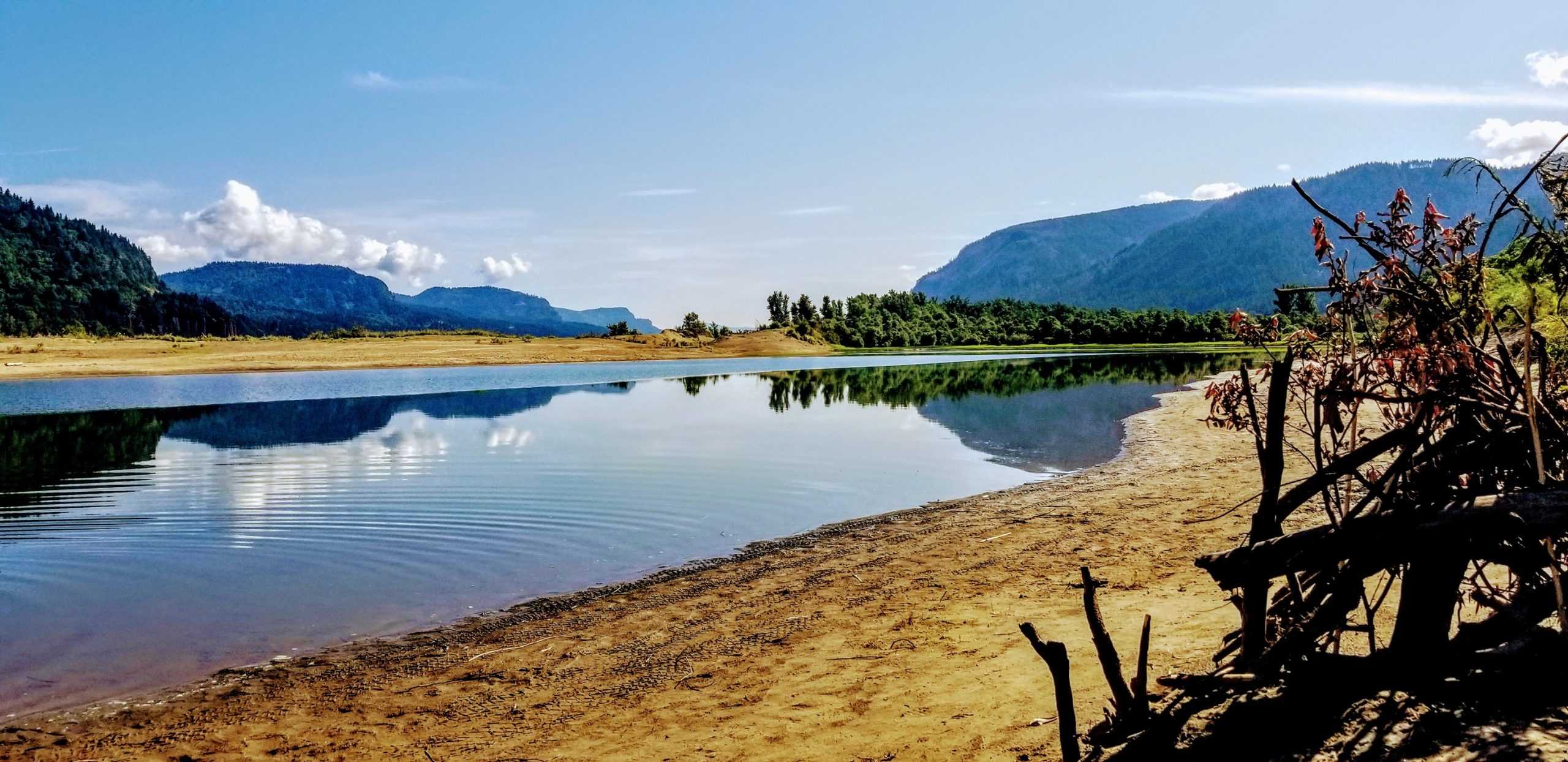
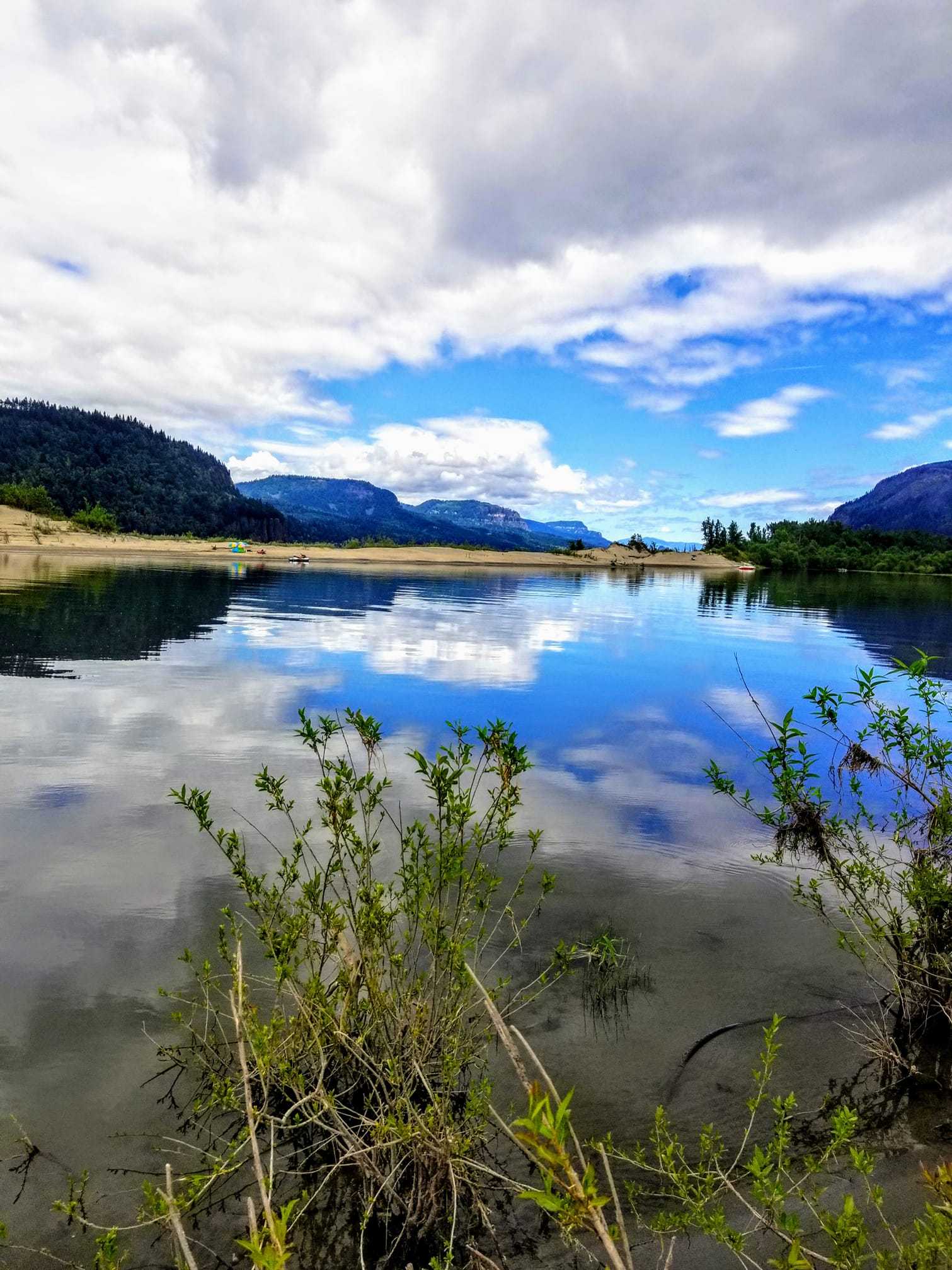
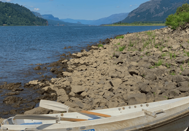
Rooster Rock is a large basalt feature on the Oregon side of the Columbia River, just below the base of Crown Point, at River Mile (RM) 129. Rooster Rock is located in Oregon, downstream of Shepperds Dell and upstream of Tunnel Point. Across the Columbia River are Steigerwald Lake National Wildlife Refuge and Point Vancouver, which was visited by Lieutenant Broughton, a member of Captain George Vancouver’s expedition, in 1792. Both Cape Horn and Beacon Rock are located upstream on the Washington State side, while Multnomah Falls is located upstream on the Oregon side. On November 2, 1805, Lewis and Clark camped near Rooster Rock.
Rooster Rock State Park Camping
Rooster Rock does not allow camping. There is camping nearby.
Activities

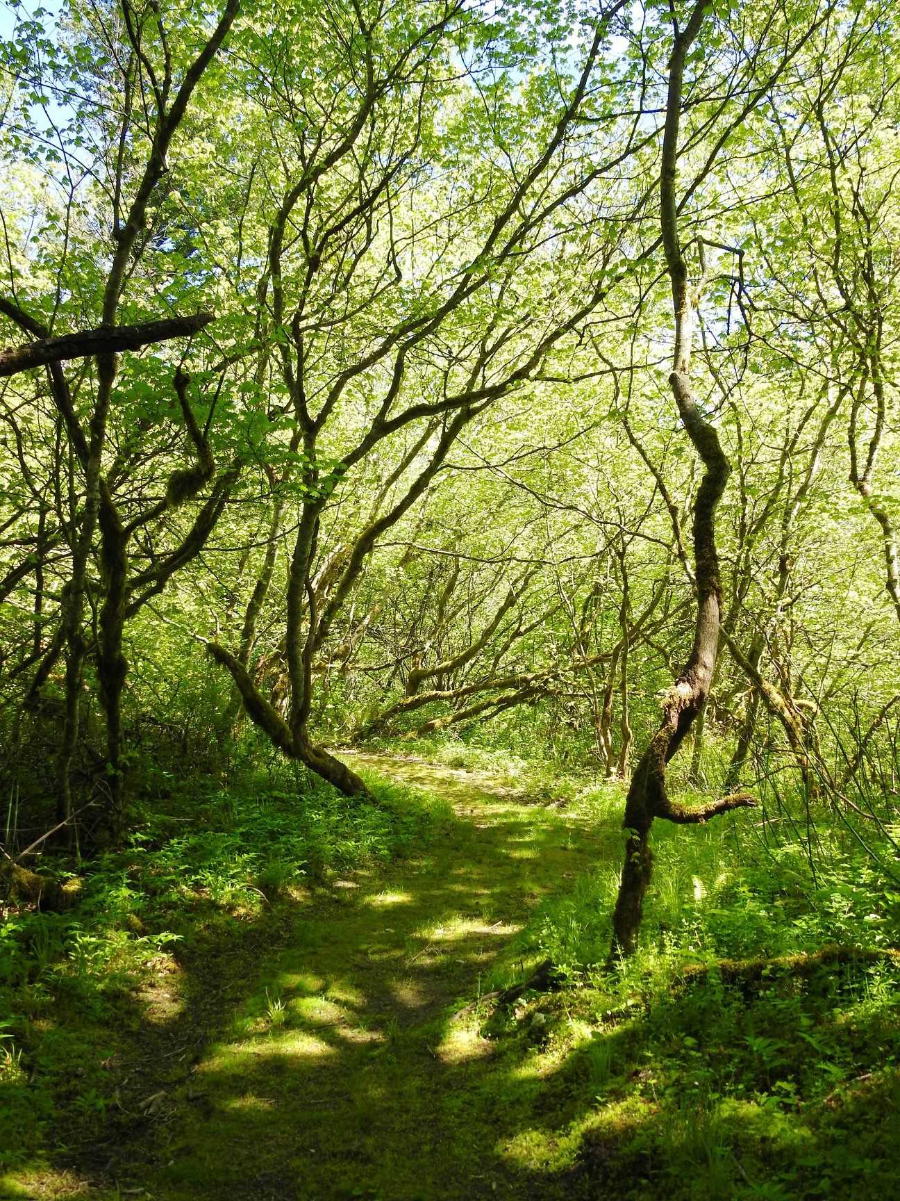
Rooster Rock State Park Trails
Hand-curated trail maps and driving directions, as well as detailed reviews and photos from hikers, campers, and nature lovers like you, allow you to explore the most popular trails in Rooster Rock State Park.
Rooster Rock State Park Location
Exit 25 off Interstate 84, about 22 miles east of Portland, leads to Rooster Rock. The park is open all year and is open for day use for a small fee.
Parking
Parking is available
Public Transport
Public Transport is not available
