
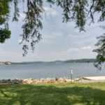
Introduction of Rock Bridge Memorial State Park
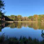
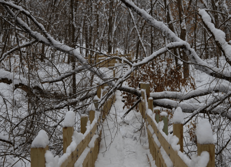
Get away from the hustle and bustle of everyday life by visiting some of Missouri’s finest karst features, such as the rock bridge, or by exploring Rock Bridge Memorial State Park’s forests, streams, and restored grasslands. Visitors can view the rock bridge, explore Connor’s Cave on their own, and see an underground stream, small spring, and sinkhole while walking the half-mile Devil’s Icebox Boardwalk. The 15 miles of trails that traverse the 2,273-acre park are always open to hikers and bicyclists on a conditional basis. The 750-acre Gans Creek Wild Area is ideal for hikers and horseback riders. Visitors should call the trail condition hotline before riding.
Rock Bridge Memorial State Park Camping
Reservations are required for primitive camping for non-profit organisations such as Scout, youth, and educational groups.
Rock Bridge Memorial State Park Activities
Hiking
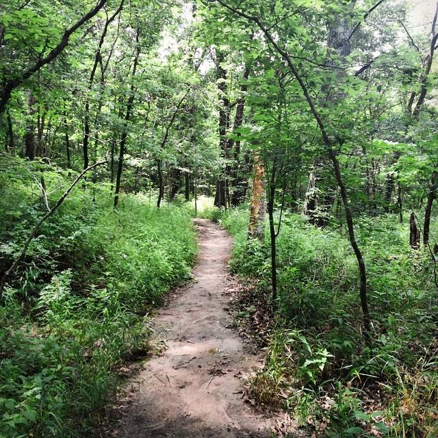
Eight trails throughout the park provide visitors with a variety of exciting and fascinating opportunities to enjoy the natural features of this area.
Horseback Riding
8.5 mile Gans Creek Wild Area Trail System
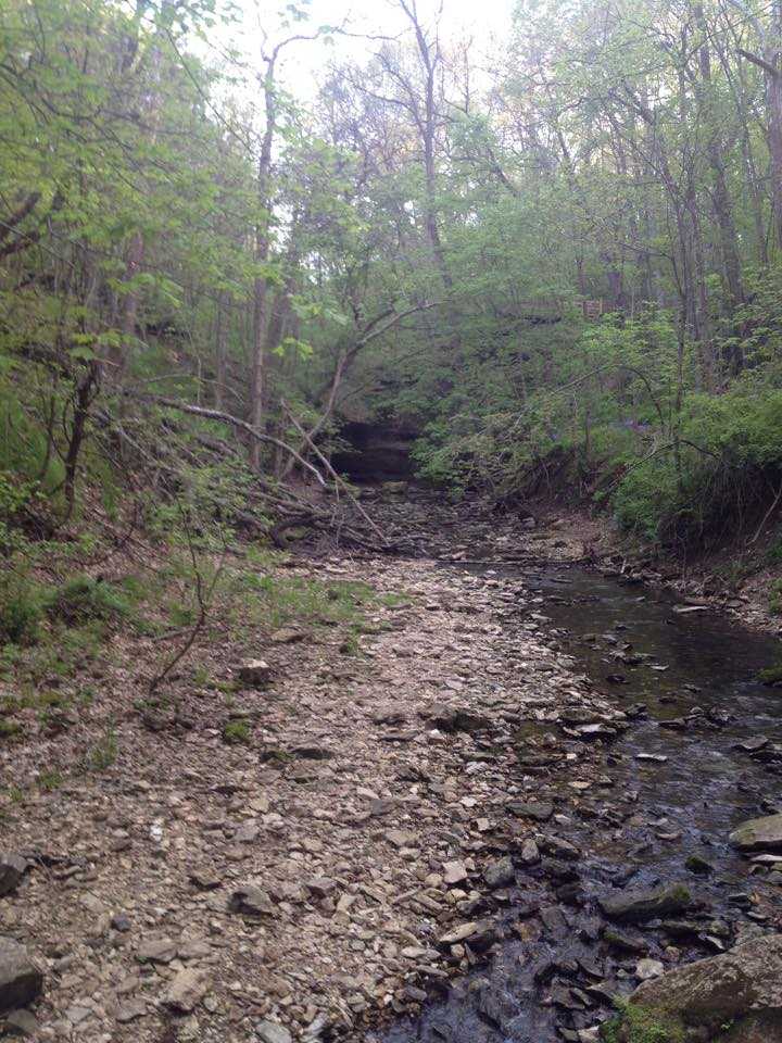
This trail is not maintained at the same level as the other trails in the park due to the desire to keep human impact to a minimum. The solitude and beautiful vistas of the 750-acre Gans Creek Wild Area make you forget that Columbia, South Carolina, is only a few miles away. Small streams cut through the hills and drain into Gans Creek, which is surrounded by high bluffs. Gans Creek’s bottom and sides are frequently solid bedrock, while other sections of the stream have gravel bars.Except when there is a lot of rain, the water flows slowly over riffles and into pools. Spring wildflowers are in bloom. Basswood and walnut trees thrive on moist, shady slopes. White oaks are scattered throughout the more open forested area. Small glade openings in the rocky bluff tops are filled with grasses and wildflowers. The Coyote and Shooting Star bluffs offer panoramic views of hills and trees for as far as the eye can see. Horseback riding is only permitted from July 1 to October 31 when the trails are dry.
Picnicking
Take a picnic lunch to one of the many picnic areas located throughout the park. The Billy Gilbert Memorial Shelter is an open shelter located in the upper picnic area that can be reserved for large picnics and special outings. The wheelchair-accessible shelter has four grills, electricity, running water restrooms nearby with flush toilets and sinks, and picnic tables that can seat up to 80 people. (Water and restrooms are only available from April 15 to October 31.) A dumpster is located nearby. This shelter is available for rent for $40 per day. Reservations may be made up to 11 months ahead of time. The Rockbridge Mills Shelter, located about 400 feet south of the Devil’s Icebox parking lot along Sinkhole Trail, is primarily used for interpretive programmes.It’s an open shelter with picnic tables that can hold up to 60 people. It has no running water, electricity, or grills. The parking lot has vault toilets and a dumpster. Fires and portable grills are not permitted. It is not accessible by wheelchair. This shelter can be reserved for $25 per day when it is not required for interpretive purposes. Reservations are accepted up to two months in advance. If neither shelter is reserved, they are free to use on a first-come, first-served basis. There are no trash cans at either shelter. The playground, which is rated for children aged five to twelve, is located in the park’s day-use area at the intersection of the second loop and the main park road.

Rock Bridge Memorial State Park Location
Rock Bridge Memorial State Park is approximately 130 miles and two and one-half hours from St. Louis and Kansas City. Take I-70 to Exit 126 (Providence Road/Downtown) in Columbia from either location. Travel six miles south on Providence Road/Highway 163 through Columbia. (On the right at the top of the hill, about one mile south of Stadium Boulevard and just before Green Meadows Boulevard, is Jewell Cemetery State Historic Site.) Highway 163 narrows to two lanes at Southampton Road. Turn left at the next traffic light (Route K, Old Plank Road, and Highway 163) to stay on Highway 163.To get to the Gilbert Shelter, playground, picnic areas, or Wild Cave Tour staging area, drive one mile on Highway 163 and turn right into the main park entrance. In the first loop, follow the road as it curves left; service buildings will be on your right. The playground is located in the second loop, the shelter in the third loop, and the staging area is located just past the third loop near the Hickam Log Cabin. To get to the park office, drive about 800 feet past the main park entrance on Highway 163 and turn right into the next driveway. To get to the Devil’s Icebox parking lot or Rockbridge Mills Shelter, drive one mile past the main park entrance on Highway 163 and turn right at the bottom of the hill.
Rock Bridge Memorial State Park is approximately 40 minutes from Jefferson City and one and a half hours from Rolla. Take US Highway 63 north from either location. Turn left/west onto Highway 163 toward Pierpont about six miles north of Ashland. Travel three miles to a four-way stop, passing the Shooting Star and Karst trailheads (Route N and Highway 163). Continue on Highway 163 by turning right. To get to the Devil’s Icebox parking lot or the Rockbridge Mills Shelter, follow these directions: Travel one mile and turn left at the bottom of the hill into the park entrance. To contact the park office,Travel about 9/10 of a mile northwest on Highway 163 past the Devil’s Icebox parking lot and turn left into the next driveway. To get to the Gilbert Shelter, playground, picnic areas, or Wild Cave Tour staging area, take Highway 163 northwest about 800 feet past the park office and turn left into the main park entrance at the top of the hill. In the first loop, follow the road as it curves left; service buildings will be on your right. The playground is located in the second loop, the shelter in the third loop, and the staging area is located just past the third loop near the Hickam Log Cabin.
Parking
Parking is available
Public Transport
Public Transport is not available
