
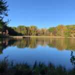
Introduction of Myre Big Island State Park
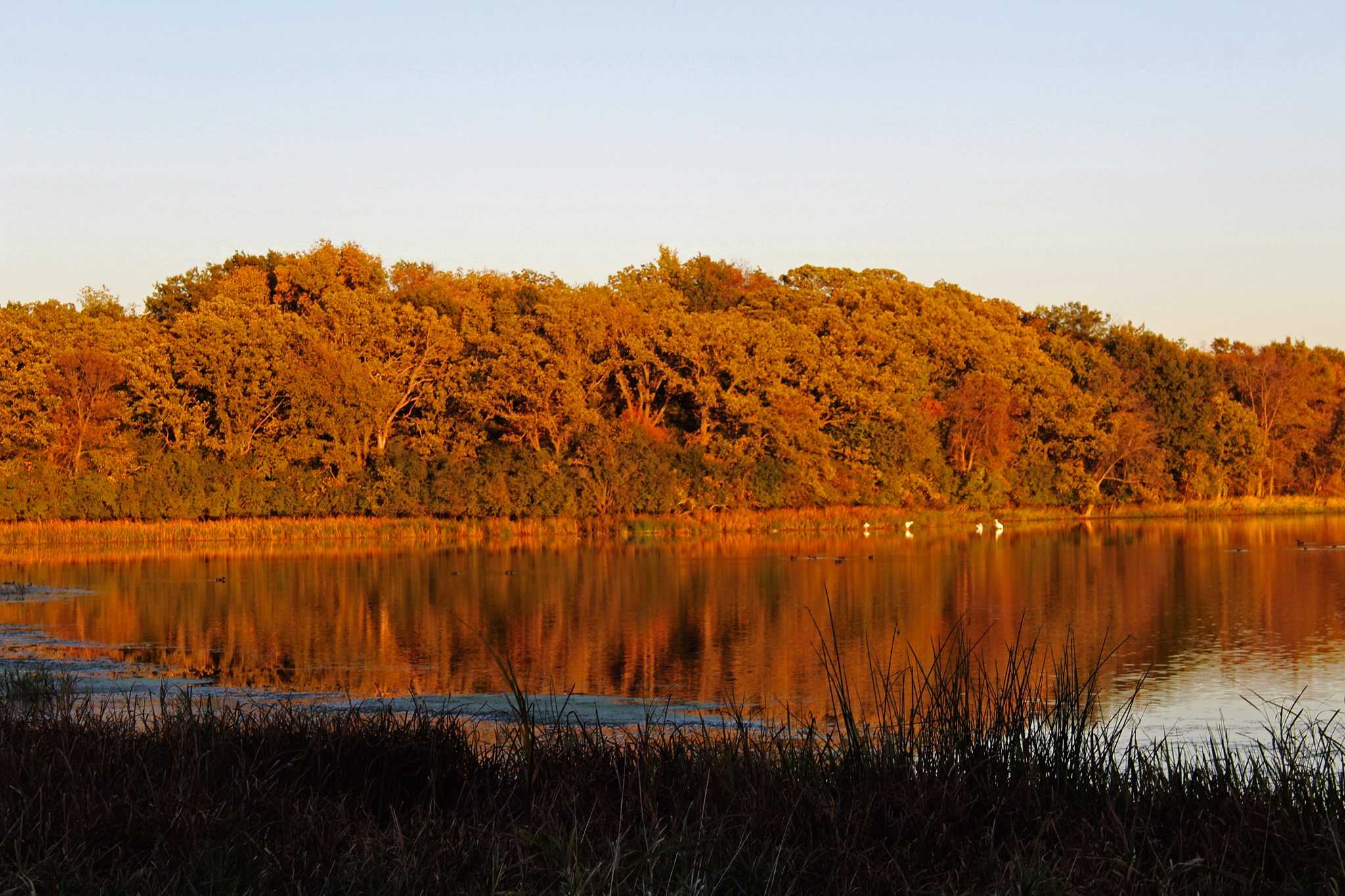
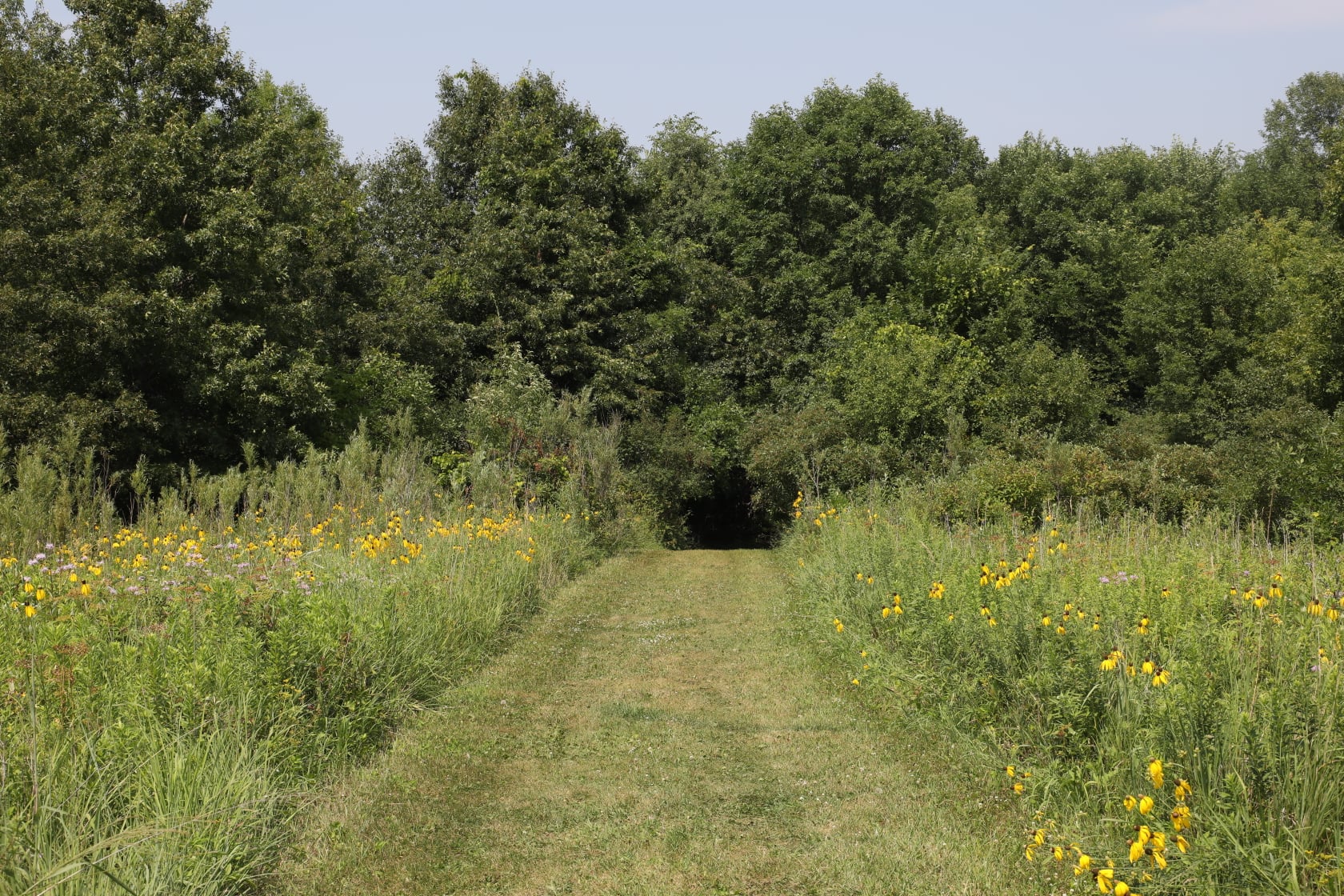
There is something for everyone in this park. The paths lead tourists through grasslands, oak savannas, and rainy lowlands. Numerous ducks flock to Albert Lea Lake and the park wetlands while migrating.
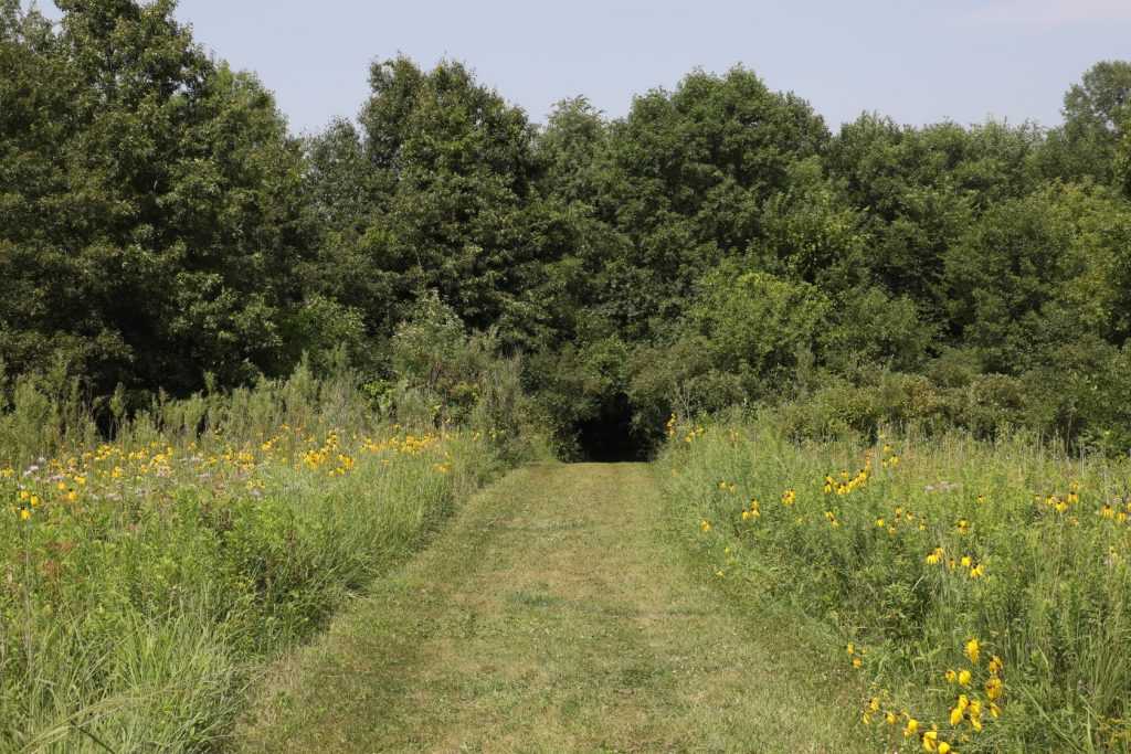
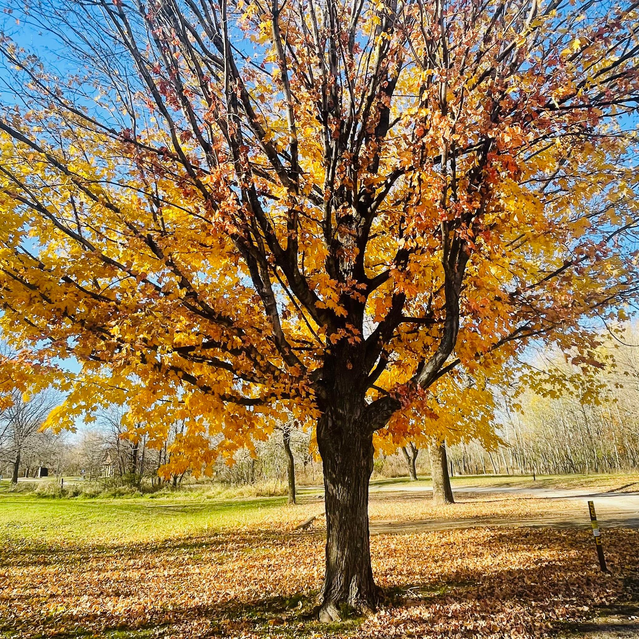
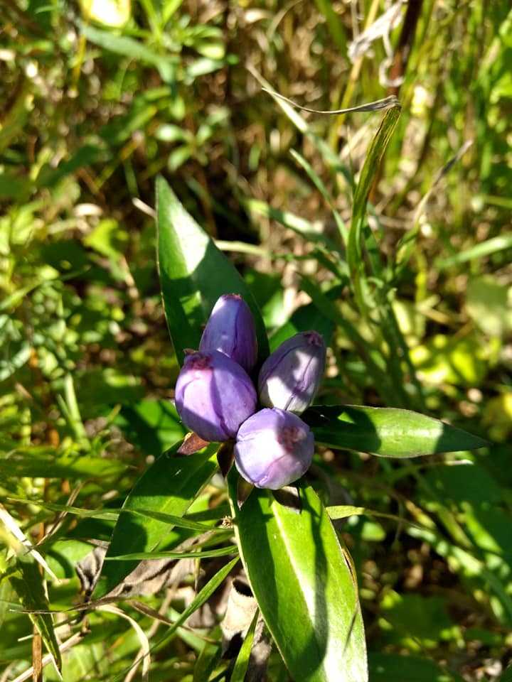
The oak savanna, wetlands, northern hardwood woods, grasslands, and restored prairie are just a few of the diverse natural habitats to take in. Bur oak trees and groves are scattered throughout a prairie to form an oak savanna. Big and tiny bluestem, side-oats grama, porcupine, Indian, and switch grasses are examples of common prairie grasses. Lead plant, rattlesnake master, prairie smoke, bottle gentian, blazing star, black-eyed susan, and various coneflowers are examples of flowering plants. Prior to European habitation and cultivation of the region, an oak savanna dominated this environment. The oak savanna is being attempted to be restored.
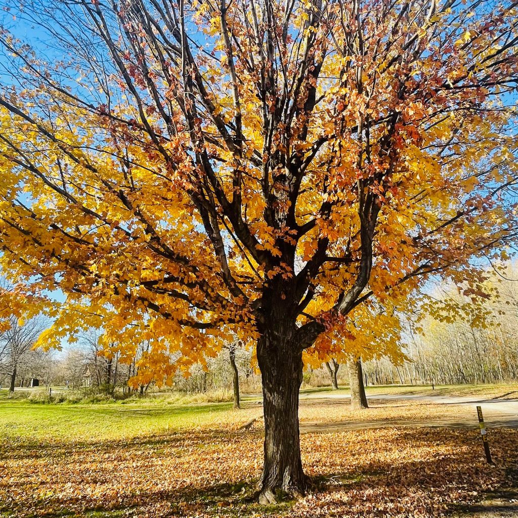
The maple, basswood, ash, elm, ironwood, and red oak trees are representative of the northern hardwood forest of the Big Island. Spring beauty, bloodroot, hepatica, dutchman’s breeches, ginger, and trout lilies are some of the flowering species on the island. The Big Island was shielded from previous years’ wildfires because to Albert Lea Lake.
The park is now working to restore the wetlands plant communities that were formerly present there. The majority are found in prairie regions. Migratory ducks can find a home in wetlands. By adopting programmes for planting and controlled prairie burning, park workers and the surrounding community are putting a lot of effort into preserving the natural environment. Old farm tiles are being removed, low areas are being dike, and structures are being installed to manage water levels as part of the rehabilitation of wetlands.
Particularly during spring and autumn migration, the park is regarded as one of several excellent birdwatching locations in southern Minnesota. Regular visits include birds of prey such the American kestrel, marsh hawk, red-tailed hawk, rough-legged hawk, great horned owl, and bald eagle. The common egret, great blue heron, American bittern, sora, and Virginia rail are among the shore and wading birds that have been observed. Commonly sighted birds include the Canada geese, wood duck, mallard, and blue-winged teal. The indigo bunting, eastern bluebird, rose-breasted grosbeak, northern oriole, and eastern wood pewee are examples of songbirds.
Myre Big Island State Park Activities
Boating
Albert Lea Lake offers rentals for canoes, kayaks, and boats. Drive-in boat access is available. Boaters should check with the park office about any specific rules.
Bicycling
The Blazing Star State Trail is connected by a six-mile paved cycling path. The trail leads cyclists to Albert Lea, which is nearby. Seven kilometres of mountain biking routes are also available in the park. There are hiking pathways here that are made of grass. When it’s raining, it’s harder to get around; cyclists should contact beforehand to find out how the trails are doing.
Camping
The Big Island campground, which is densely forested, is home to around one-third of the park’s 93 drive-in campsites, while the White Fox campground, with its lovely grassland setting, is home to the remaining 93 sites. There are 32 locations with electricity. One to two kilometres separate the four backcountry campsites from a parking lot. Mountain bikes may also be used to access the sites, however accessibility is restricted when it’s raining. To check the status, call in advance. You can paddle to all of the locations. Up to 50 individuals can stay in one group camp on a 7-acre island in Albert Lea Lake. At New York Point, there is a gathering place for usage and camping.
Fishing
Within Albert Lea Lake, fishing is possible.
Hiking
On Big Island, there is a.5-mile accessible route that runs between the picnic area and the campsite. The Bur Oak Esker and Big Island Great Marsh paths are two of the 8.25 miles of self-guided trails. The office has an interpretative guidebook accessible. Hikers may go over 16 miles of routes that wind through both open and forested undulating hills.
Picnicking
There is a picnic place on Big Island. It has picnic tables, fire rings, and an open, accessible shelter with a fireplace.
RVing
All campsites have gravel pads accessible. Generally speaking, the park’s dump station is open from late April until late October. Three miles from the park, at the Trails Truck Stop, a dump station is accessible year-round. The maximum RV length is 60 feet.
Winter Sports
There are 1.5 miles of winter hiking paths and 5 miles of groomed cross-country ski routes in the park. Seven kilometres of groomed snowmobile trails are also maintained by Myre-Big Island. In the park, snowshoeing is allowed anywhere except on ski routes that have been groomed. Only snowmobile trails allow dog sledding. Wintertime warming shelters are provided throughout the park. In the winter, snowshoes are available for hire.
Myre Big Island State Park History
Natural history
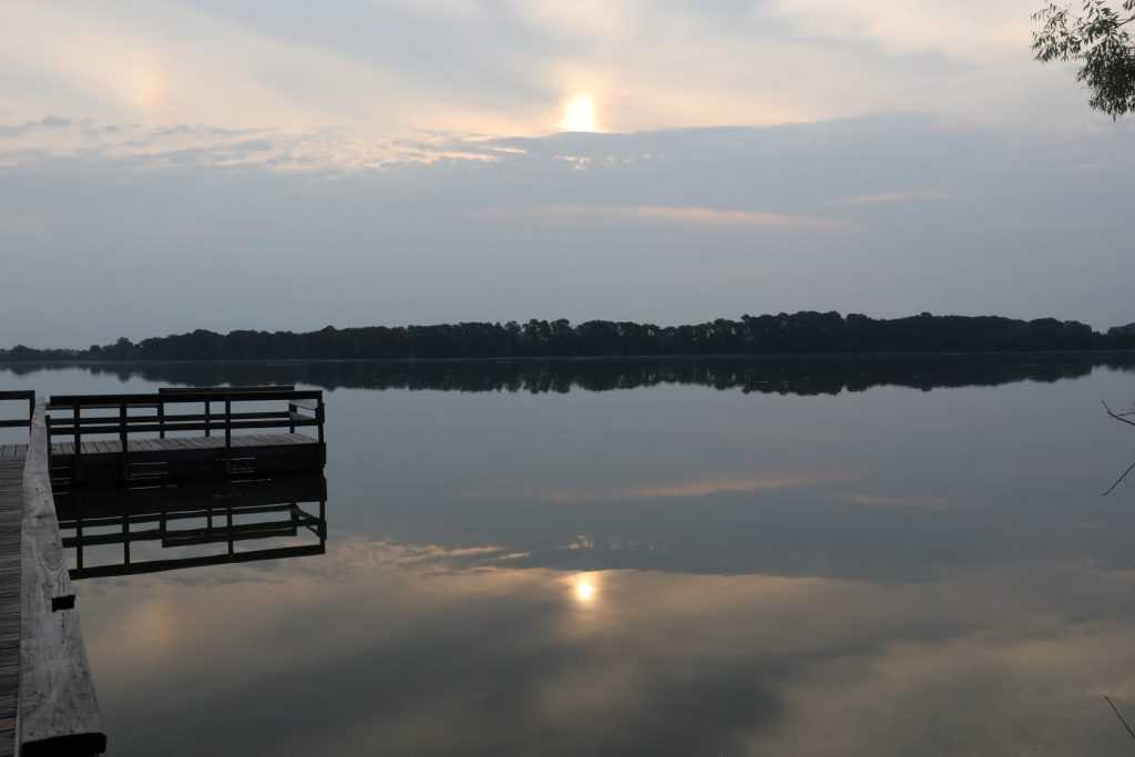
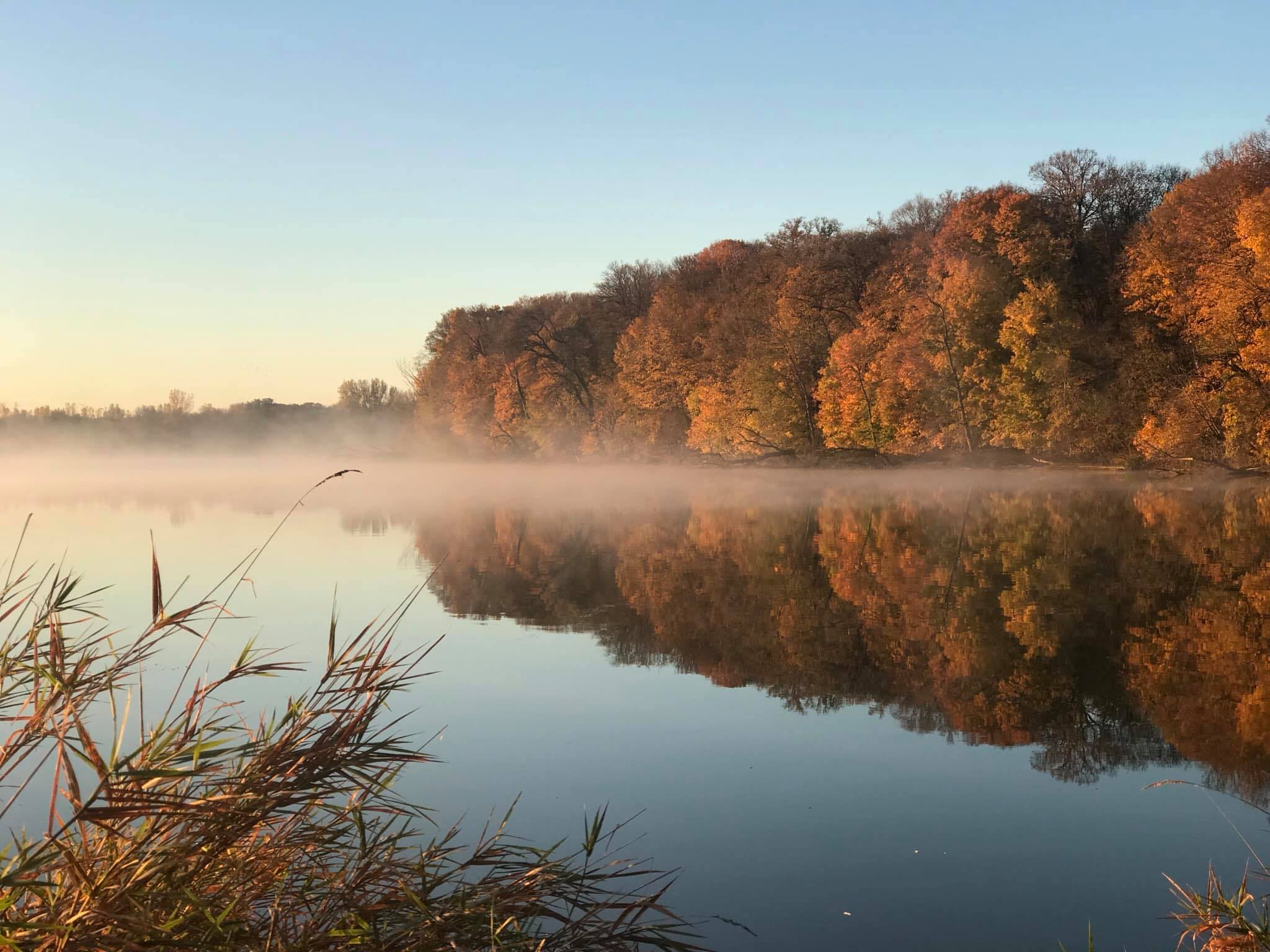
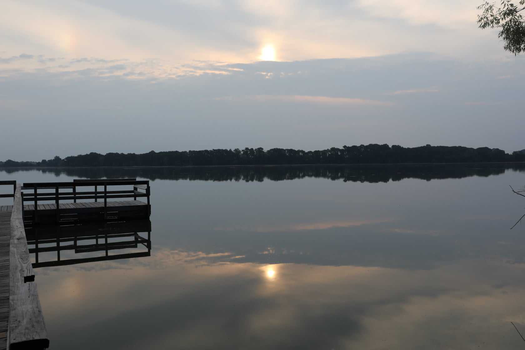
The Bemis Moraine, which represents the southernmost point of a glacier lobe from the Wisconsin glaciation 10,000 years ago, is where the park is located. The moraine caused the meltwater to back up behind the glacier as it receded. Originally a moraine-dammed lake, Albert Lea Lake now spans 2,600 acres (11 km2). A stream that flows beneath the glacier has left an esker, a sinuous ridge of sand and gravel, in the park.
With a few marshes, the landmass is mostly covered with oak savanna vegetation. To protect and enhance these ecosystems, restoration ecology efforts, including as controlled burning and water retention techniques, are continuing. Big Island has a closed forest savanna that resembles an old growth hardwood forest because it is shielded from the wildfires that prevented tree development in the savannas and prairie of southern Minnesota. Along with willows at the lake’s edge, it is made up of maple, basswood, elm, green ash, ironwood, and red oak. Lake Albert Lea is very eutrophic. Lakes that have been dammed by moraine generally fill in, although agricultural runoff has slowed this process down.
Cultural history
Humans have been residing around the region’s lakes for 9,000 years, according to artefacts, many of which were gathered by a local amateur archaeologist named Owen Johnson in the middle of the 1940s. Johnson and state senator Helmer Myre, both Albert Lea residents, started to promote the preservation of Big Island as a state park. Big Island had seventeen privately held parcels at the time, and some of the owners were thinking about cutting down their trees. The Minnesota Legislature readily approved a bill sponsored by Myre in 1947 that gave the Department of Conservation permission to purchase the 117-acre (47 hectare) island. The present owners were purchased, and a picnic area and pathways were built thanks to extra monies contributed by a group of local supporters. The park was formerly known as Big Island State Park, but it wasn’t given an official name until 1953, when it was given the honorary moniker Myre State Park in memory of the senator who had passed away two years earlier.
A campsite was established in the early 1960s, but Big Island was too tiny to accommodate many visitors. When it was revealed that Interstates 90 and 35 will merge close to Albert Lea, a brand-new neighbourhood group started advocating for the park to be expanded. On the mainland, a further 839 acres (340 ha) of land were granted in 1963. A land development business bought a 560-acre (230 hectare) parcel northeast of the park in 1974 that comprised the lakeshore and the esker. Again, significant community support served as the impetus for adding this area to the park, which required two years of effort to overcome both financial and legal obstacles.
In 1972, Owen Johnson gave the park his collection of Native American surface artefacts. They are kept at the Owen Johnson Interpretive Center at the park’s entrance and can be accessed for research purposes only at this time. The preceding titles of the park were amalgamated into the current official name, Myre-Big Island State Park, in 1990.
Seasonality/Weather
Only from late April to late October are showers and the trash station open. All seasons are suitable for camping (both electric and non-electric sites are available in the winter). For the weekends and major holidays, reservations are advised. From November 1 through April 1, there is no requirement for reservations.
Directions
Driving
On County Highway 38, the park is situated three miles southeast of Albert Lea. Just north of Albert Lea, Interstates 90 and 35 come together. There are signage pointing travellers to the park on both interstates.
Parking
Parking is available.
Public Transport
Public Transport is available.
