
Introduction of Muskallonge Lake State Park
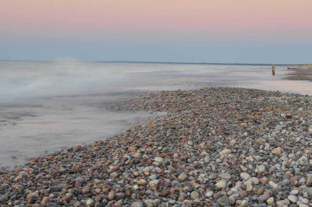
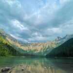
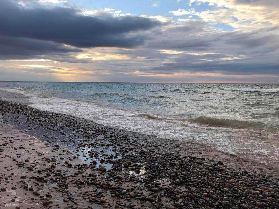
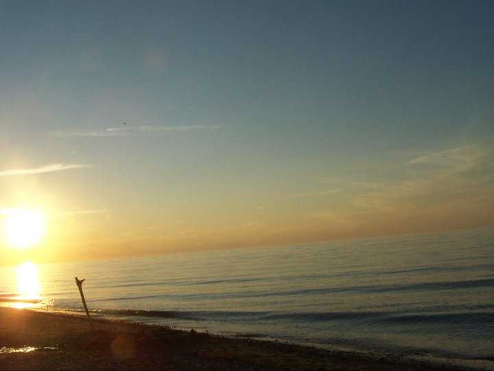
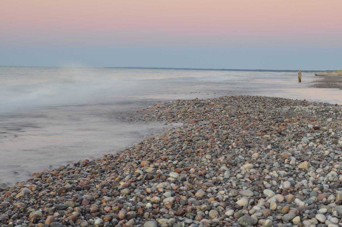
In Luce County, 28 miles northwest of Newberry, sits Muskallonge Lake State Park. Located between the coasts of Muskallonge Lake and Lake Superior, the 217-acre park is widely renowned for its woods, lakes, and streams. Deer Park, a forestry town in the late 1880s, and an Indian campsite were once located in what is now Muskallonge Lake State Park. Millions of white pine logs were transported to Muskallonge Lake through train lines and used as a mill pond there. The virgin pine stands had been harvested by 1900, the mill had been shut down, and the lumbering activity had relocated. Sawdust clumps and a few pine logs in the lake that are partially submerged are all that are left as reminders of the former logging hamlet. A Coast Guard Life Saving Station once stood in this park.
Within 20 miles of the park, there are five rivers and roughly 70 lakes. Day visits are a great way to see historical forts and the Father Marquette National Memorial and Museum. Whitefish Point and other waterfalls may be seen in Tahquamenon Falls State Park, which is only a short drive away. Visitors to the park can take a trip to the logging museum in Newberry or board a riverboat to get to the falls. Pictured Rocks National Lakeshore is situated to the west of Grand Marais. The Kingston Plains and the Seney National Wildlife Refuge are located southwest of the park. Hunting for ducks and geese is permitted on both lakes, which are even closer to the park, but not inside its boundaries. Additionally, fishing charters are provided in Grand Marais.
Muskallonge Lake State Park Activities
Boating
There is a boat launch accessible.
Camping
The park features a contemporary campsite.
Fishing
Fishing is legal.
Hiking
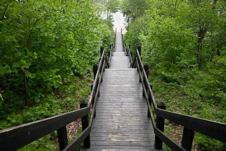
There are hiking trails throughout the park.
Picnicking
There are places to have picnics.
Water Sports
This includes swimming.
Winter Sports
Snowmobiling is permitted.
Muskallonge Lake State Park History
The park is located immediately west of Deer Park, a mill town from the 19th century that almost vanished after the forests on which its mill depended disappeared. One of five Coast Guard stations that once stood along the shore of Lake Superior between Munising and Whitefish Point in the Upper Peninsula is now a state park. It was once known as Station Muskallong Lake (Coast Guard Station #295; subsequently renamed Station Deer Park). It belonged to United States Life Saving Service District 10. (later part of District 11). Grand Marais, Two Heart, Crisp Point Light, and Vermilion Point were the other four stations along the “Shipwreck Coast” of Lake Superior.
From 1876 through 1909, Deer Park Life-Saving Station was operational. In 1957, the park was given to the Parks and Recreation Division by the Forestry Division.
Directions
Driving
Continue north on I-75 past the Mackinac Bridge until you reach M 123 north. From M-28 heading west, take M-123 heading north via Newberry to Co Road 407. 3 miles northwest on County Road 407 from Newberry.
Parking
Parking is available.
Public Transport
Public Transport is available.
