
Introduction of Moore State Park
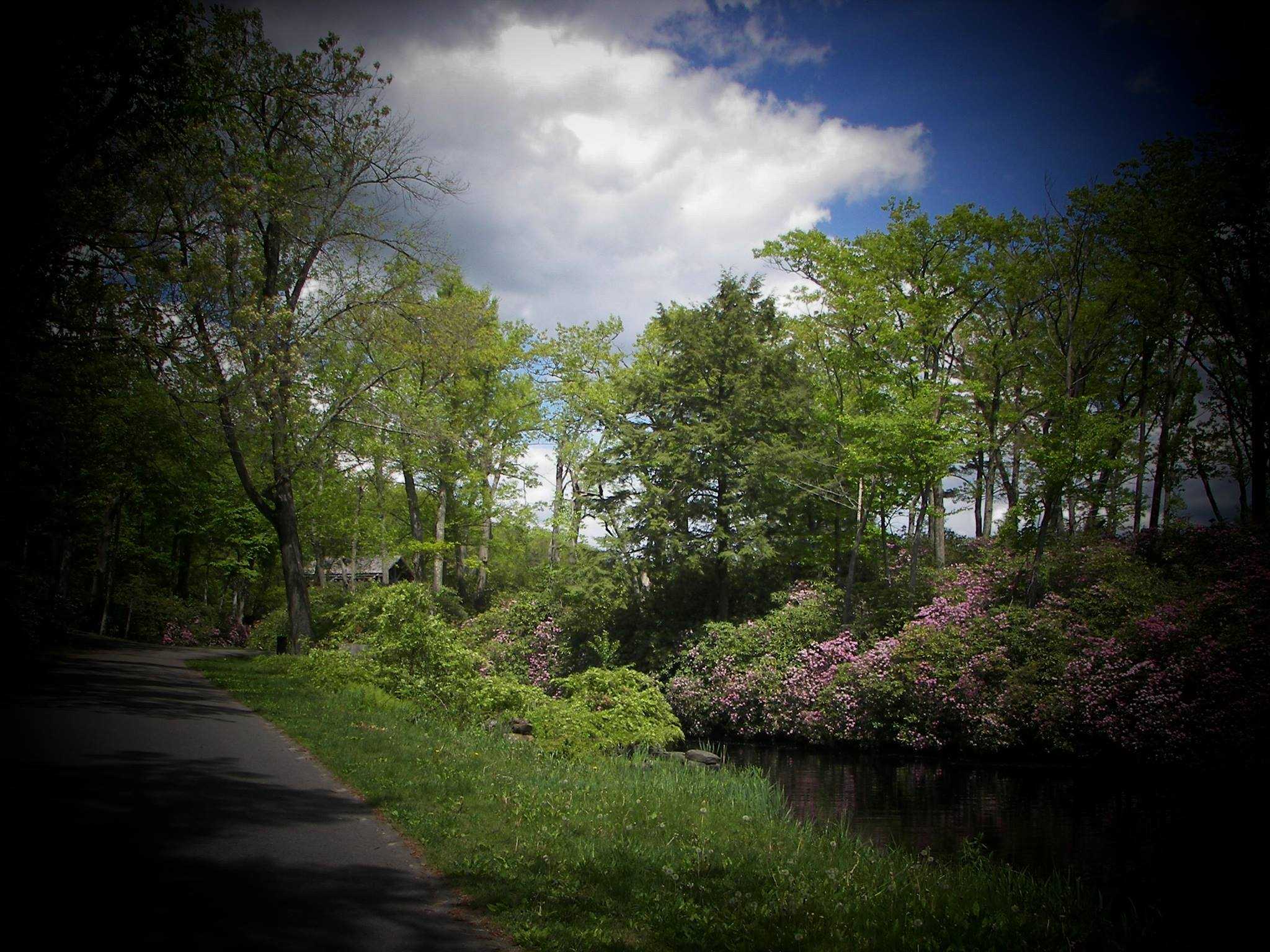
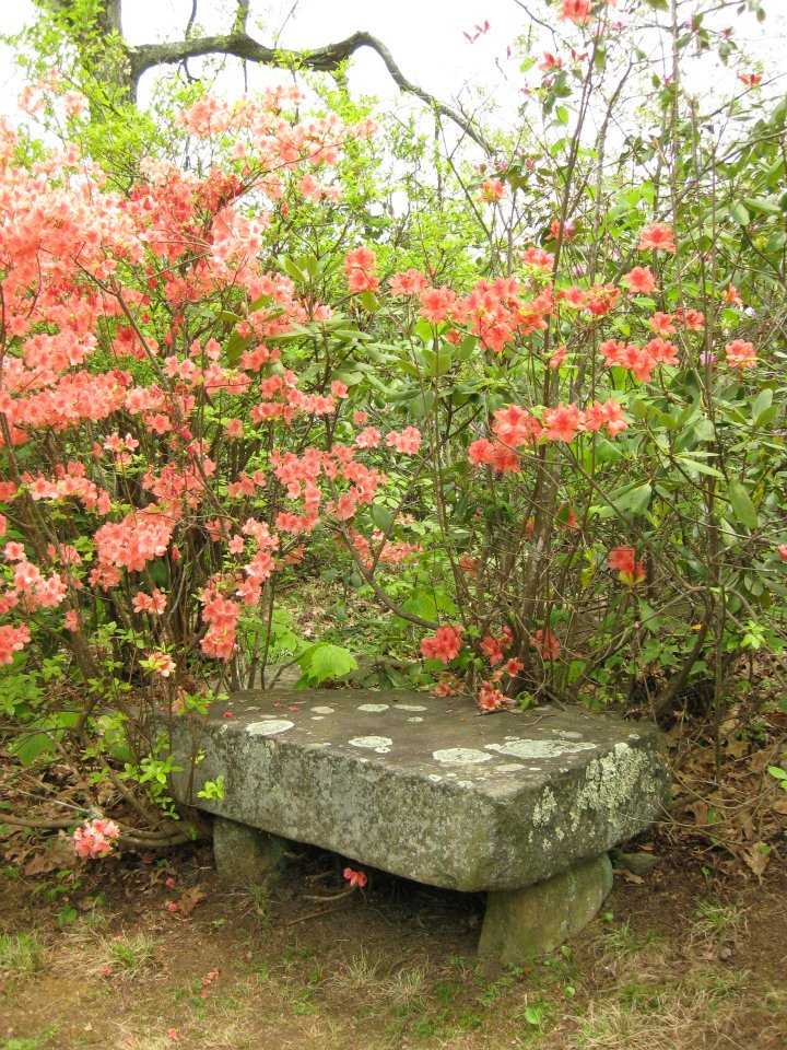
Moore, a tranquil 400-acre refuge in the centre of Massachusetts, had housed grist and saw mills from 1747 until the beginning of this century. It then evolved into a private estate. What is left now is the finest of both worlds: a rebuilt sawmill, stone mill foundations, and mountains covered with magnificent azaleas, rhododendrons, and mountain laurel. The blooms cover woodland pathways, tumble down slopes, and adorn waterfalls.
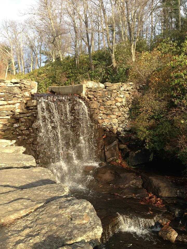
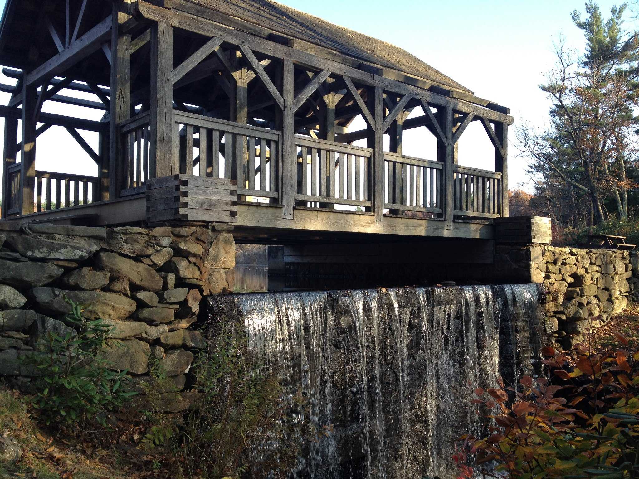
The main source of energy in early New England was the force of falling water. As many as five different mills may have been erected here due to Turkey Hill Brook’s favourable mill location and its 90-foot plunge in less than a quarter mile. The ruins of Moore’s mill town offer a picture of the previous rural manufacturing industry before it was supplanted by the nineteenth-century industrial revolution.

Moore State Park Activities
Boating
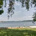
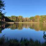
On Eames Pond, visitors may go fishing and canoeing.
Fishing
Visitors can canoe and fish on Eames Pond.
Hiking
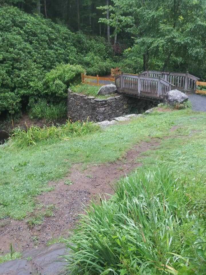
Miles of pathways and gravel roads allow visitors to travel across the estate.
Historic Sites
As many as five different mills may have been erected here due to Turkey Hill Brook’s favourable mill location and its 90-foot plunge in less than a quarter mile. The ruins of Moore’s mill town offer a picture of the previous rural manufacturing industry before it was supplanted by the nineteenth-century industrial revolution.
Hunting
Limited hunting is possible; ask for specifics.
Winter Sports
Visitors may cross-country ski on countless kilometres of paths and dirt roads in the winter.
Moore State Park History
At least five watermills from the 18th and 19th centuries originally stood on a section of the property in Moore State Park and were powered by Turkey Hill Brook, which falls 90 feet over a 400-foot stretch. The site’s original mills were a gristmill and a sawmill constructed as early as 1747. A triphammer, quarry, school, and bar are among the visible remains of the mill hamlet. The land was once a private estate in the early 20th century, and substantial sections of it were later added to the state park.
As part of attempts to bring blight-resistant American chestnut trees back to the United States, park officials collaborated with the American Chestnut Foundation in 2003 to establish a sizable plantation of experimentally bred chestnut trees.
Directions
Driving
Mid-central Massachusetts is where Moore State Park is situated.
THE NORTH EAST Take Rte. 190 toward Worcester from Rte. 2W and Rte. Route 140 North, exit 5, to traffic signal. turn left When you reach the conclusion, turn right toward Holden. Continue till the end, then turn left (this is Rte. 31) Continue on Rte 31S past Paxton Center, Holden Center (crossing Rte 122A), and (intersection of Rtes. 31, 122, and 56) Rte 495S to Rte 290 West or Rte 31South to the Moore State Park entrance on the right can be taken instead. Right after exiting at Exit 18 Turn right and ascend the slope between the historic Courthouse and the Auditorium at the second set of lights. Following the Worcester Airport signage at every junction will lead you to Tatnuck Square and Rte 122N. Continue on Rte 122 beyond the airport’s gate to Paxton Center (just a few miles) Turn left onto Rte. 31S in the centre (intersections of Rtes. 122, 31 and 56) The entrance to Moore State Park is 1 1/4 miles on the right.
Rte 2E to Rte 32S to Rte 122S to Paxton Center from the northwest (inters. of Rtes. 122, 31, & 56) Entering Moore State Park is 1 1/4 miles on the right after turning right onto Route 31S.
FROM Mass., the south Pike east to the exit for Sturbridge reach Rte 49N, take Rte 20E. To get to Rte 9 in Spencer, take Rte 49. After arriving at Spencer Center, turn left onto Route 31N. Follow Rte. 31N into Paxton; once there, look for a lead-in sign; the entry to Moore State Park will be on your left. SINCE THE PIKE Take the Rte 20W exit for Auburn. Rt. 20W to Rt. 56 North, then Through Leicester centre, turn right onto Route 56N (you’ll cross Route 9 and stay on 56N). In Paxton, Route 56 will come to a T with Route 122. After one mile, turn left onto 122/56 and go to Paxton Center. The crossroads of Routes 122, 31 and 56 is the centre. Turn left onto Route 31S. Entrance to Moore State Park is one and a half miles south on Route 31.
Parking
Parking is available.
Public Transport
Public Transport is available.

