

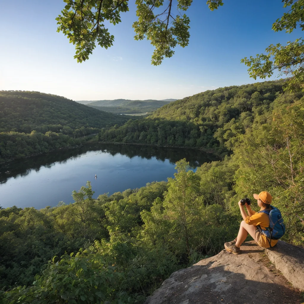
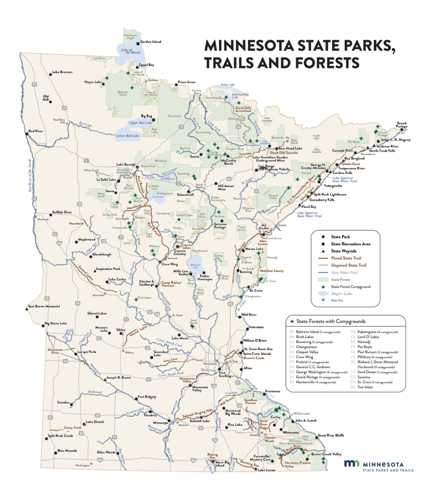
Minnesota is not just about lakes; it’s also home to some of the most picturesque and diverse state parks in the US. From the rugged cliffs of the North Shore to the sweeping prairies in the south, each park offers a unique experience. The MN state park map is an essential tool that highlights trails, points of interest, campgrounds, and access points, making it easier for visitors to plan their trips.
Why You Need an MN State Park Map
- Navigation: Easily find your way through extensive trail systems.
- Planning: Identify key features of parks such as picnic areas, restroom facilities, and parking.
- Safety: Know your exact location to communicate in case of emergencies.
- Discovery: Uncover hidden gems and less-traveled paths that only locals might know about.
Top Minnesota State Parks to Visit
Itasca State Park
- Location: Clearwater County, Minnesota
- Highlights: The headwaters of the Mississippi River, old-growth pine forests.
- Activities: Boating, hiking, and wildlife viewing.
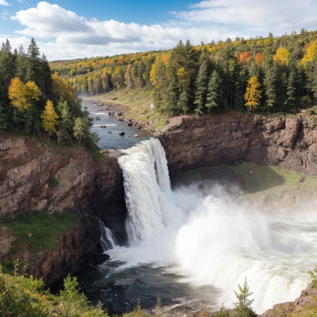
Gooseberry Falls State Park
- Location: Silver Creek Township
- Highlights: Spectacular waterfalls, the Gooseberry River, Lake Superior shoreline.
- Activities: Hiking, winter sports, and picnicking.
Tettegouche State Park
- Location: Lake County
- Highlights: High cliffs, waterfalls, and the historic Tettegouche Camp.
- Activities: Rock climbing, fishing, and bird watching.
Each of these parks offers unique landscapes and activities, all detailed on the MN state park map, which helps visitors maximize their experience.
How to Use the MN State Park Map Effectively
- Download or Purchase a Physical Copy: Ensure you have a digital or physical map.
- Study the Map Before You Go: Familiarize yourself with routes, landmarks, and facilities.
- Keep the Map Accessible: Whether on your phone or in your backpack, keep the map handy.
- Use the Map to Plan Your Visit: Decide which areas you want to explore and what activities you want to do based on the information provided on the map.
Enhancing Your Adventure with the Right Tools
In addition to the MN state park map, consider these tools:
- A Reliable Compass or GPS Device: For precise navigation.
- A Detailed Guidebook: Offers insights into the flora, fauna, and history of the parks.
- Mobile Apps: Apps like AllTrails provide user reviews and updated trail information.
FAQs About MN State Parks and Maps
Yes, the official MN state park map includes all state parks, recreation areas, and trails.
Absolutely! The MN state park map is available online through the Minnesota Department of Natural Resources website and can also be downloaded for offline use.
No, the map itself is free, though state parks may charge entry or parking fees.
Yes, apps like AllTrails and the official Minnesota DNR app are excellent for navigating and getting real-time updates on park conditions.
Minnesota’s state parks offer an abundance of natural beauty and outdoor activities, and the MN state park map is a vital tool to navigate and enjoy these spaces. Whether you’re a seasoned adventurer or a casual visitor, these maps will enhance your exploration and ensure a fulfilling outdoor experience. So grab your map, pack your gear, and get ready to explore the great outdoors of Minnesota!
Feel free to dive deeper into any of the sections, explore more about specific parks, or let me know if there’s anything else you’d like to include!