
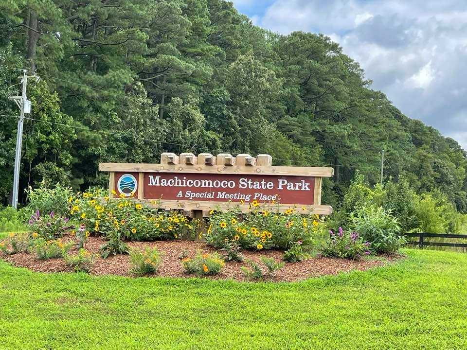
Introduction of Machicomoco State Park
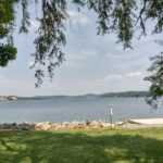
Machicomoco State Park is situated along the York River in the southern section of Gloucester County, about 10 miles downstream from Werowocomoco. Timberneck’s surroundings were undoubtedly connected to Tsenacommacah and Powhatan’s vast Chiefdom.
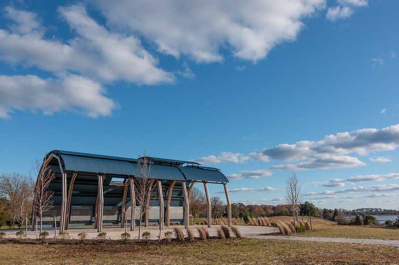
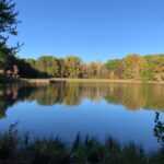
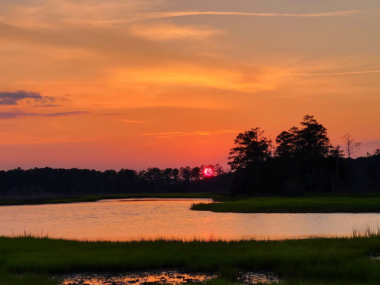
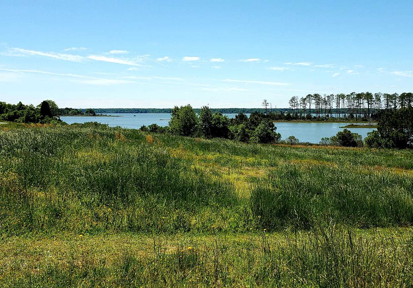
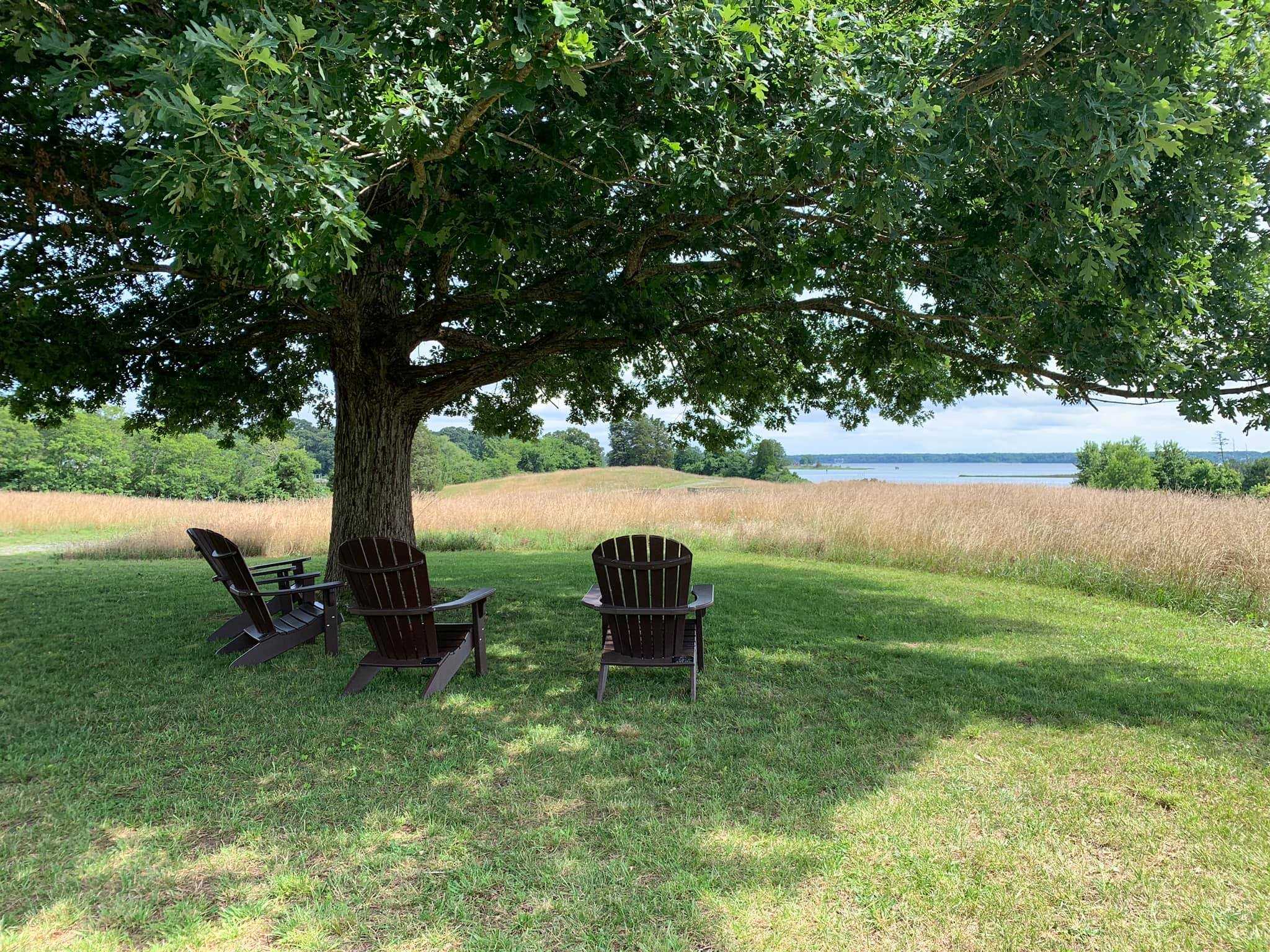
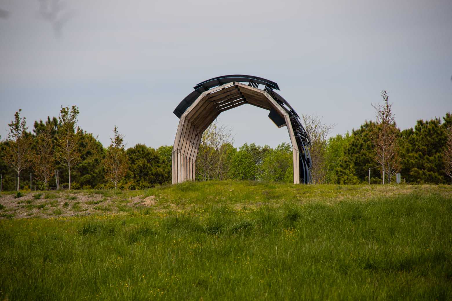
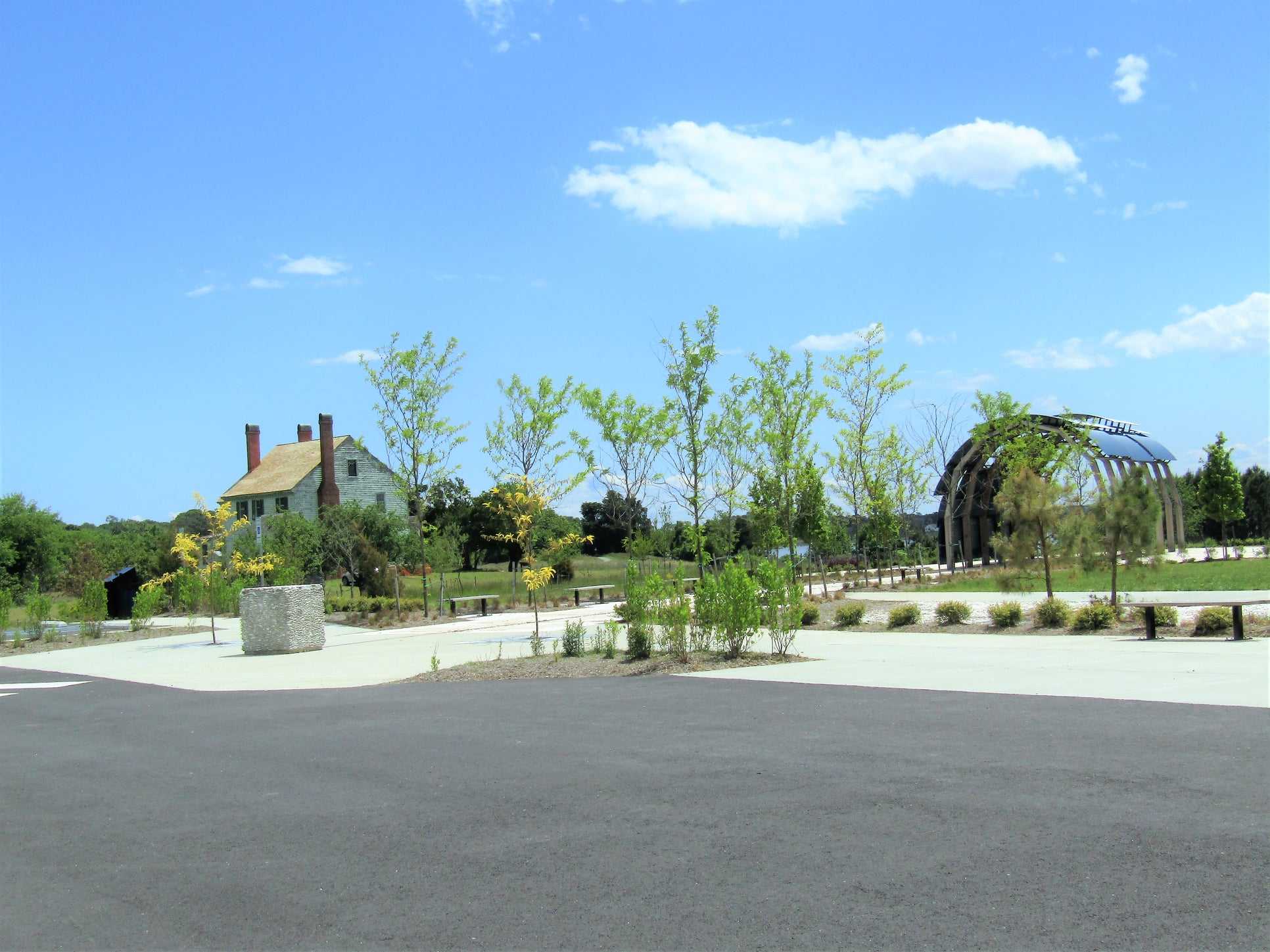
Through displays and a walking trail through the terrain, an open-air interpretive pavilion offers details on the culture, geography, and movements of Virginia Indians. The main park road is lined by a paved path for bicycling and walking. The surrounding property offers a variety of natural habitats, including open fields, forests, shoreline regions, and marshy areas that are home to deer, turkeys, and several kinds of songbirds and raptors.
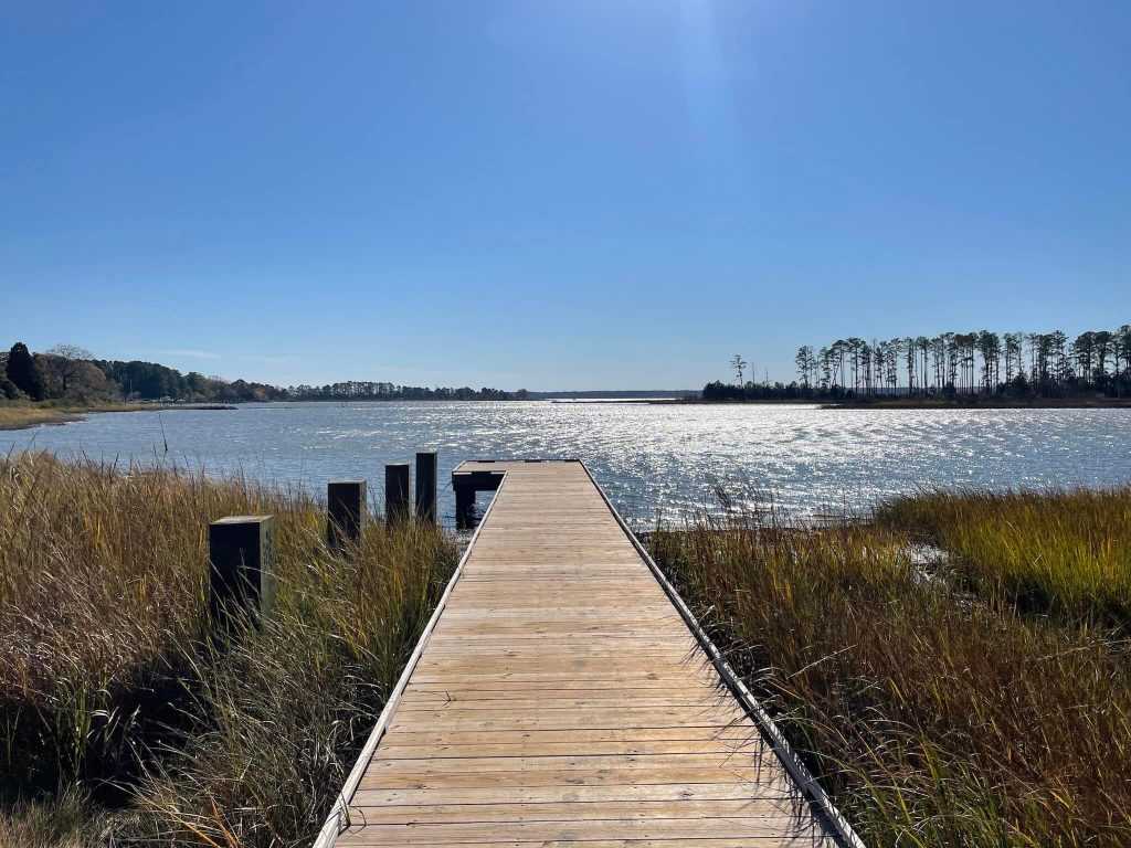
Three overnight yurts, two picnic shelters, a car-top boat launch pier with an accessible boat entrance structure, and a pair of tiny floating docks on Timberneck Creek for daytime boat tie-ups and fishing are among the other facilities.
Park History
The name Machicomoco State Park was proposed by the Board of Conservation and Recreation and approved by the director of DCR on April 26, 2019, for a future state park at the location also known as Timberneck Farm. The planned Surry-Skiffes Creek Transmission Line Project’s mitigation clauses included funds for land purchase, visitor information centres, archaeological research, and preservation efforts related to Werowocomoco. As part of this requirement, the Timberneck Tract was bought by the Conservation Fund. The design and building of a campsite, a car-top boat launch, an open-air interpretive centre, and a picnic area are being managed by Nelson Byrd Woltz Landscape Architects. DCR received ownership of the property on October 9, 2020. In order to integrate current DCR acreage close to Rosewell and the Machicomoco State Park area, DCR will open and reassess the Middle Peninsula State Park Master Plan in 2021 with feedback from the public.
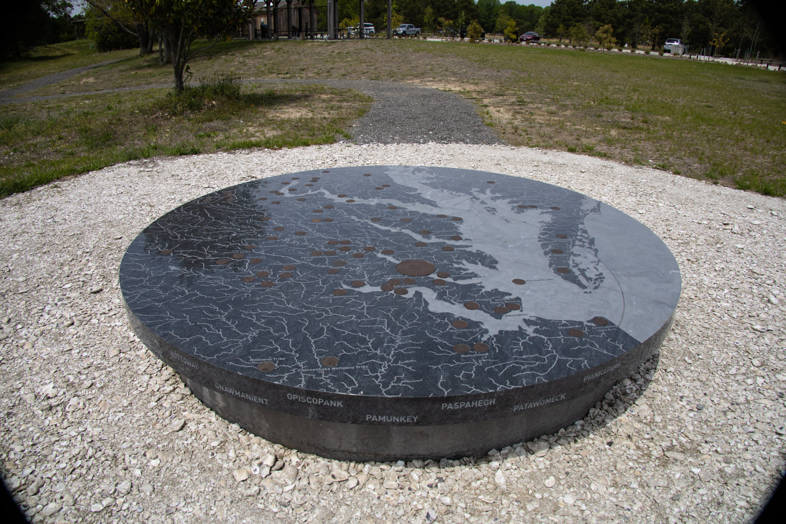
“Eastern Virginia is known as Tsenacomacoh to Virginia Algonquian speakers, and its capital is Werowocomoco. The Eastern Algonquian language served as a link between the more than 30 tribes that made up the Algonquian Powhatan Confederacy, which was unified under Chief Wahunsenacawh. Machicomoco is now undergoing phase I development and is expected to welcome visitors in the beginning of 2021.
The countryside and waterscape are framed by Algonquian language and cosmology to portray the experiential aspects of the area. The park’s wayfinding and interpretation make use of Algonquian language and cultural symbols to allude to geography, landforms, and ecology. The park, which was created with the help of tribe representatives, aims to fully immerse visitors in the history of this region and the illustrious Powhatan presence that has been closely associated with it.
Parking Passports
Naturally Yours Passport – $85
Parking and access to all State Parks for a whole year. Natural Bridge and Southwest Virginia Museum state parks are both accessible to up to 4 people with annual passes.
Senior Naturally Yours Passport – $40
Parking and entrance for a year, with a maximum of four individuals per ticket. aged 62 or older. An age verification may be required.
Disability passport – free
Includes free parking for cars. Only parks and facilities with per person admission are free entry for the card bearer and anybody required to help the pass holder. For people who have a disabled licence plate or placard, this permit is not necessary. You must provide a Social Security or Veterans Association disability benefit verification letter with your application in order to get this permit.
Veteran disability passport – free
Covers parking for vehicles and entrance for the permit bearer and any helpers at parks and facilities that charge a per-person fee. includes parking for horse trailers and boat launches. Additionally, this pass offers a 50% discount on camping, swimming, shelters, and equipment rental (park operated rentals only). requires a 100% grade for service-connected disability. The application must be accompanied by documentation from the U.S. Department of Veterans Affairs proving a complete service-connected disability.
Recreation
TRAILS
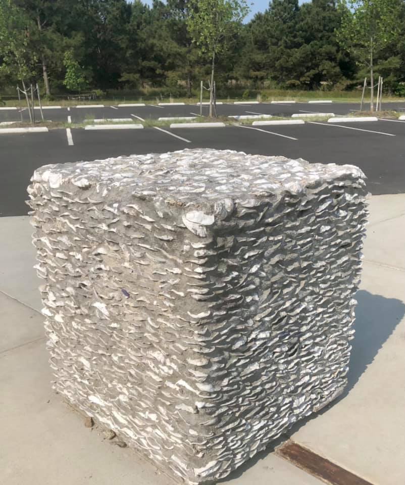
A 3.3-mile asphalt track for walking and bicycling rings the park’s main road. At the interpretive area, there is a.7-mile trail made of gravel, oyster shells, and mowed grass.
FISHING, BOATING
At Poplar Creek, there is a car-top boat launch access point for the park. A pull-off is provided at the launch access so that the boat may be loaded and parked 650 feet away from the drop-off location in a different parking area. From the parking lot, a hardened path goes back to the pickup location. Boats have to be carried by hand from the drop-off location to the launch pier, down a paved trail, and out to the accessible float at the end of the pier. Including the pier, the total distance from the drop-off point to the ocean is around 350 feet. Be cautious to check the local tide chart before utilising the areas since this water body is relatively shallow and vulnerable to mud low tides at different periods of the year. This canal is also a component of the Virginia Institute of Marine Science’s Chesapeake Bay National Estuarine Research Reserve. Due to the delicate nature of the resources, access is not permitted to the Catlett Islands and the surrounding marshlands. Please be mindful of this resource and always stay in your boat. This access may not be used by motorised boats or boats launched from trailers. For the protection of migrating ducks that use the region for overwintering, water access is restricted from November 1 through January 31.
Only at the floating slips on Timberneck Creek is fishing allowed. The Virginia Department of Marine Resources must provide you a valid saltwater licence.
Picnic Shelters
The interpretative part of the park has both of the park’s two sizable picnic shelters. Each features a charcoal barbecue and picnic tables. Each shelter has an electrical plug, however loud music is not permitted. The cost of parking is separate from the cost of renting a shelter and is payable when entering the park. Only private places (such a cabin or camping unit) and locations covered by Virginia Department of Alcoholic Beverage Control permits—which must be granted by the park—are permitted to serve alcohol, as is the case throughout the whole park.
There is a paved walkway leading to Shelter 1 with grass all around it. A restroom is 150 feet away, and a parking lot is 50 feet away. The area surrounding the shelter is level. Ten picnic tables are there.
There is grass all around Shelter 2. A restroom is around 80 feet away, and a parking lot is about 50 feet away. The interpretive path section is visible from the flat area surrounding the shelter. The picnic shelter includes ten tables.
Location
Hayes, Virginia 23072, 3601 Timberneck Farm Road is where you may find the park. Longitude: -76° 32′ 30.400W and latitude: 37° 18′ 40.480N.
Northern Virginia takes three and a half hours to drive; Richmond takes an hour and a half; Norfolk/Virginia Beach takes an hour and a half; and Roanoke takes four hours.
Directions:
From Richmond
Exit 220 for VA-33 toward West Point on I-64 East. Onto State Route 14/Buena Vista Road, make a right. Right-turn onto US-17S. After 21 miles, turn right into Providence Road (do not use Piney Swamp Road). Turn left onto Borden Road after travelling 1.5 miles on Providence Road. Turn left at the circle onto Timberneck Farm Road to reach the park entrance gate at the end of the road, which is about.69 miles away.
From Tidewater
Exit 258 for US-17N into Gloucester County on I-64 west. After paying the $2 toll to cross the George P. Coleman Bridge, turn left onto Providence Road. After travelling about 1.5 miles, turn left onto Borden Road. Turn left onto Timberneck Farm Road at the roundabout at the end of the road (about.7 miles), and follow it to the park entrance gate.
Park Size
645 acres


