
Introduction of Haw River State Park
The Haw River State Park was approved by the General Assembly in 2003 and is now being construction for future public usage. The Summit Center, a Retreat and Conference Center that had formerly belonged to the Episcopal Diocese, was the state park’s first significant acquisition. The division’s first residential environmental education centre is presently run out of this location, which also offers conference space that can be hired out for group outings. The Summit Center further provides environmental education courses through the Haw River Program (HARP). The Haw River State Park and Summit Environmental Education Center is set on almost 300 acres of piedmont woodland, farmland, marshes, and uplands close to the Haw River’s sources. The Haw River Corridor’s resource preservation and recreational options for park visitors will increase as property is acquired and Haw River State Park expands and develops. In the future, the park plans to offer picnics, camping, and hiking options. Another suggested route for the Mountains to Sea Trail is along the Haw River Corridor. The state park does not have any amenities for usage by the general public until more properties are purchased for it. Visitors are invited to stop by and check out the park, however it’s advised that you phone ahead: The park is open from 8:00 am to 5:00 pm from Monday through Friday, with the exception of most state holidays. If a group has rented the Summit for the weekend, the park will be open during specified times. Before exploring the premises, guests should check in at the main desk.
Haw River State Park Activities
Hiking
Numerous programmes at the Haw River Program include hiking (HARP). For lab activities and presentations, HARP uses a variety of indoor classrooms. It also utilises two outdoor amphitheatres, hiking paths, a six-acre lake, and a long boardwalk that meanders through natural wetlands.
Picnicking
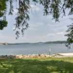
Amphitheaters are ideal for intimate gatherings or unforgettable performances since they provide a stunning view of the lake.
Camping
The Summit Center provides dormitory-style cabins, cottages, and both single- and double-occupancy cottages. There aren’t any campsites available right now.
Golfing
There is a nine-hole disc golf course at The Summit Center.
List of trails
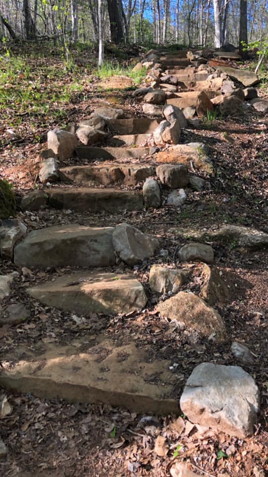
Midway through 2016, the 3.2-mile first public path at the newly created Haw River State Park was opened, along with a sizable trailhead area that will ultimately allow hikers to explore the park’s undulating piedmont topography.
Great Blue Heron Loop
Location: Iron Ore Belt Access
Description:
Surface: natural surface
Length:
3.20 miles
loop
Difficulty:
moderate hike
Blaze:
Red/Orange Squares (Connector trail is white circles.)
Lake Loop Trail
Location: Begins and ends at the Main Lodge.
Description:
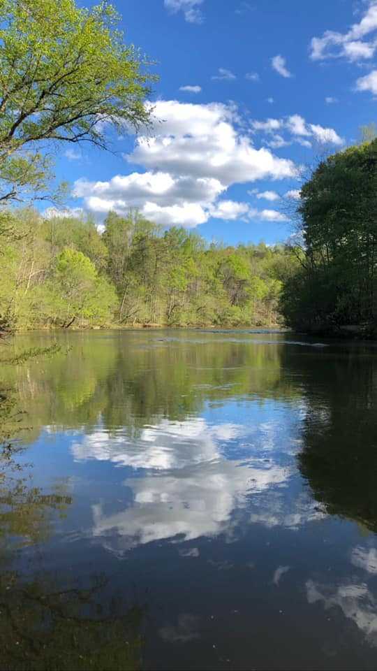
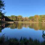
The 6-acre Robins Nest Lake is the perfect place for a leisurely stroll. This short, simple walk along the water’s edge and provides views of local animals, songbirds, and migratory waterfowl.
Surface: natural surface, gravel
Length:
0.66 miles
loop
Difficulty:
easy hike
Blaze:
red square
Piedmont Loop Trail
Location: Begins and ends at the Main Lodge.
Description:
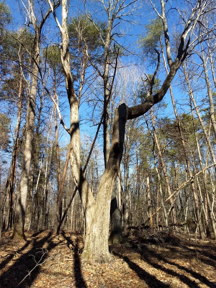
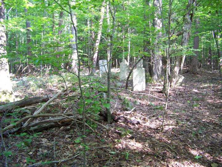
Take in views of a floodplain marsh, an early successional field, and a piedmont oak-hickory woodland within a short walking distance, among other various aesthetic experiences.
Surface: natural surface, gravel
Length:
1.42 miles
loop
Difficulty:
easy hike
Blaze:
blue square
Wetlands Boardwalk
Location: A branch of the Piedmont Loop Trail leads to the Boardwalk Trail. Follow the Piedmont Loop Trail, keep an eye out for signs pointing to the River Overlook, and turn left at the gas line easement.
Description:
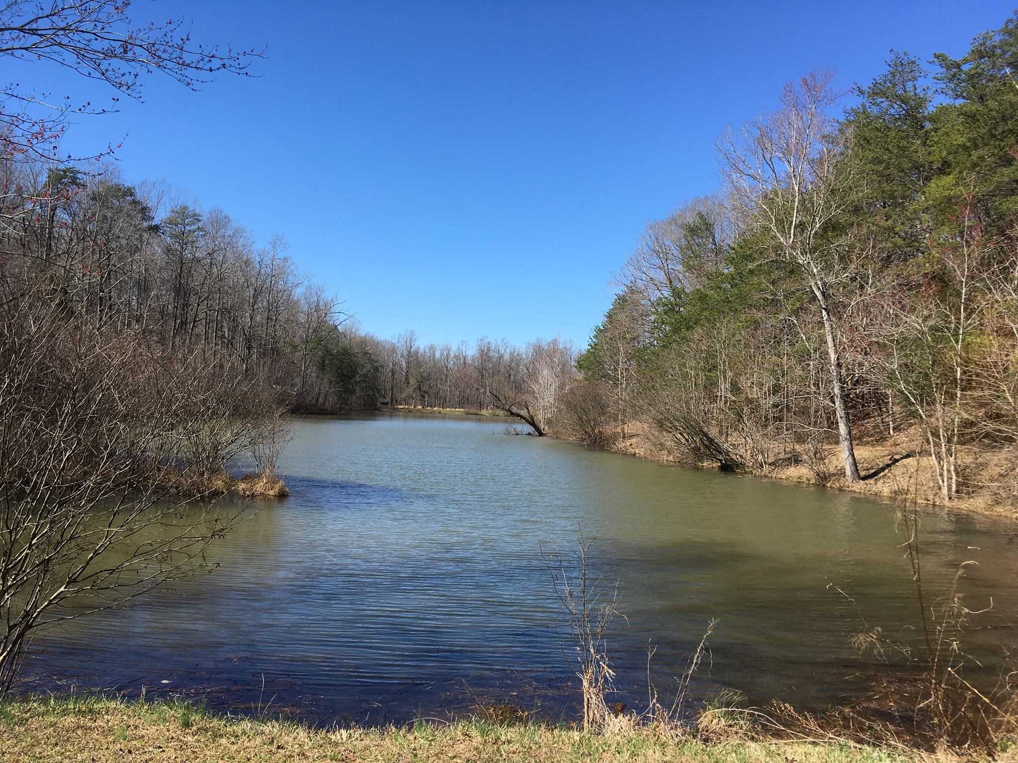
The Haw River marshes are traversed by The Boardwalk, providing you a close-up view of a distinctive North Carolina environment and a peek of the Haw River’s headwaters.
Surface: natural surface, boardwalk/bridge
Length:
0.43 miles
one way
Difficulty:
easy hike
Blaze:
orange circles
Haw River State Park History
The General Assembly approved Haw River State Park in 2003. In the system’s 2003 New Parks for a New Century project, the Haw River headwaters area was one of 12 locations in North Carolina that were suggested as future state parks. The Summit, a 210-acre retreat and conference complex, was one of the park’s first purchases. The conference facility was added to Haw River State Park in 2004 after being purchased from the Episcopal Diocese of North Carolina; the park was formally established in July 2005. The park’s existing holdings now total 1,425 acres thanks to the ongoing support of governmental and private conservation partners.
Directions
Driving
Take US 29 North to the Brown Summit exit from Greensboro (Hwy 150). After Brown Summit, when Highway 150 turns left and crosses railroad tracks, turn left. The next intersection is Spearman Rd (about 3 miles past the railroad tracks). At the intersection is Fire Station 33. After 1.4 miles, turn left onto Conference Center Drive after turning right onto Spearman. Near the end of the drive, they are at the Lodge.
Take US 29 South to the Brown Summit exit from Reidsville (Hwy 150). When Highway 150 veers right and crosses railroad tracks, turn right and continue into Brown Summit. The next intersection is Spearman Rd (about 3 miles past the railroad tracks). At the intersection is Fire Station 33. After 1.4 miles, turn left onto Conference Center Drive after turning right onto Spearman. Near the end of the drive, they are at the Lodge. OR go to Monroeton on Hwy 158 West. At Cunningham Mill Road, turn left (flashing yellow light) 2 miles should get you to Spearman Rd. The Summit entry is roughly two miles on the right after turning right. Near the end of the drive, they are at the Lodge.
Take Hwy 158 East in the direction of Reidsville for 34 miles from Winston-Salem until you reach a flashing yellow signal at Cunningham Mill Rd (Monroeton Golf Course is just past the intersection) After approximately two miles, turn right onto Spearman Rd. The Summit entry is roughly two miles on the right after turning right. Near the end of the drive, near the Lodge, lies the park. OR take exit #127 off I-40 East via Greensboro to US 29 North. the Brown Summit exit on US 29 North (Hwy 150). After Brown Summit, when Highway 150 turns left and crosses railroad tracks, turn left. The next intersection is Spearman Rd (about 3 miles past the railroad tracks). At the intersection is Fire Station 33. After 1.4 miles, turn left onto Conference Center Drive after turning right onto Spearman. Near the end of the drive, near the Lodge, lies the park.
Take I-85 North to Greensboro from Charlotte. To get to the Brown Summit exit, take US 29 North (Hwy 150). After Brown Summit, when Highway 150 turns left and crosses railroad tracks, turn left. The next intersection is Spearman Rd (about 3 miles past the railroad tracks). There is a fire station there, number 33. After 1.4 miles, turn left onto Conference Center Drive after turning right onto Spearman. Near the end of the drive, near the Lodge, lies the park.
Take I-40 West/I-85 South to exit #132 (Mt. Hope Church Rd.) and head north for about 12 miles (the route becomes McLeansville Rd.) to reach Hwy 150 from Raleigh or Durham.
After Brown Summit, when Highway 150 turns left and crosses railroad tracks, turn left. The next intersection is Spearman Rd (about 3 miles past the railroad tracks). There is a fire station there, number 33. After 1.4 miles, turn left onto Conference Center Drive after turning right onto Spearman. Near the end of the drive, near the Lodge, lies the park.
To get to Greensboro from the Piedmont Triad International Airport, head west on Bryan Boulevard. To get to the New Garden Rd. exit, travel about 4 miles. After 4.5 miles, turn left onto Battleground Ave (US 220). Once on Hwy 150, turn left and travel about 6 miles. After about 9 miles, turn right onto Spearman Rd. There is a fire station there, number 33. After 1.4 miles, turn left onto Conference Center Drive by turning left onto Spearman. Near the end of the drive, near the Lodge, lies the park.
Parking
Parking is available.
Public Transport
Public Transport is available.
