
Introduction of Crowley’s Ridge State Park
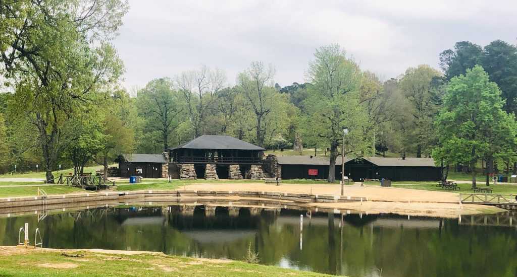
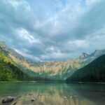
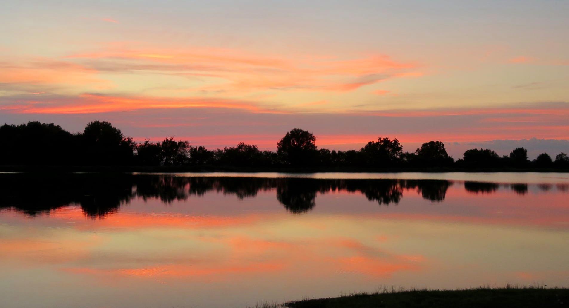
Crowley’s Ridge, located in eastern Arkansas, rises 100 to 200 feet above the Delta’s lush plains as an erosional relic from the natural powers of rivers 40 million years ago. The ridge bears Benjamin F. Crowley’s name; he served in the War of 1812 and received a land grant that allowed him to create the first pioneer community in this region of the state. As it travels from Cape Girardeau, Missouri, through the northeastern tip of Arkansas, down to the Mississippi River at Helena, Crowley’s Ridge creates a small arc of picturesque undulating hills. Crowley’s Ridge State Park is positioned on the western slopes of the ridge amidst magnificent pines and hardwoods and is situated close to Paragould in lower Greene County at the location of Benjamin Crowley’s original homesite. The park, which formerly served as a campsite for Native American tribes, now provides tourists with picturesque nature paths, shaded camping and picnic spaces, and spring-fed lakes for swimming and fishing. One of the first six state parks in Arkansas, the park was built by the Civilian Conservation Corps (CCC) starting in 1933. These ancient native stone and wood buildings still stand today, creating a rustic tranquil environment within the surrounding landscape.
Crowley’s Ridge State Park Activities
Boating
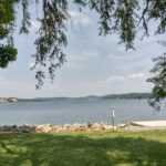
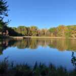
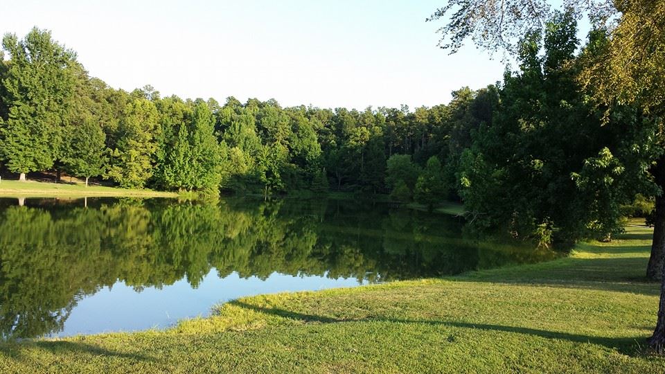
There is a 31-acre fishing lake in the park. Electric motors are welcome but gas motors are not. Canoes, pedal boats, water cycles, and fishing boats are available for rent at the lake’s marina.
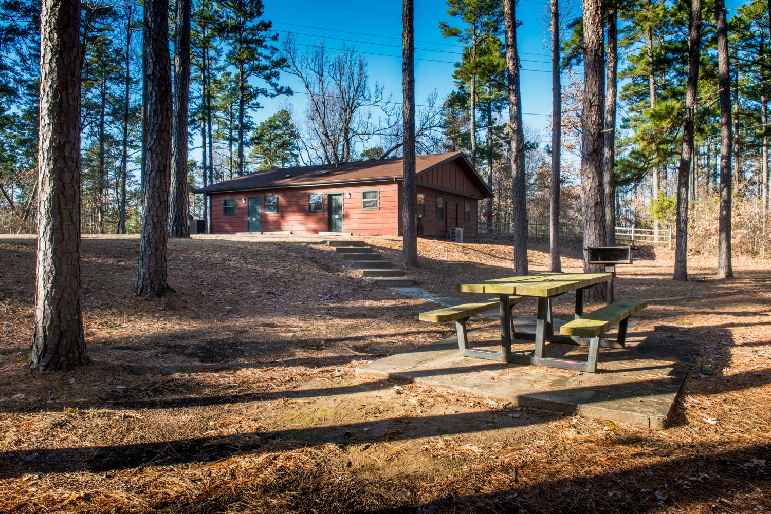
Camping
The 26 sites at the campsite are all nestled away in the forest. There are showers and restrooms at the campsite. There are 18 sites with 30 amp power and water hookups.
Fishing
There is a chance to catch trophy-sized largemouth bass, catfish, and other stocked species in the 31-acre fishing lake. Access is simple to the fishing pier, which is barrier-free. There is a ramp for boat launches. (Only electric motors)
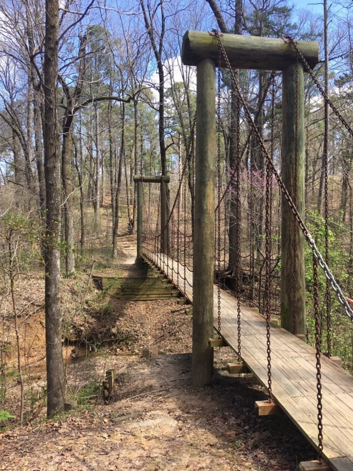
Hiking
The 4.5 miles of hiking paths in the park wind through Crowley’s Ridge’s lovely woodland, exposing visitors to some of the state’s most unusual flora and animals.
Picnicking
Four reservable pavilions for special events are available at Crowley’s Ridge State Park, which also includes a beautiful picnic area.
Historic Sites
Throughout the year, a comprehensive interpretive programme is offered, including guided walks, nature talks, historical presentations, demonstrations, and nighttime activities.
RVing
The 26 sites at the campsite are all nestled away in the forest. There are showers and restrooms at the campsite. There are 18 sites with 30 amp power and water hookups.
Water Sports
At the 31-acre fishing lake, visitors may hire canoes, paddle boats, and water cycles. They can also swim in the 3.5-acre swimming pool.

A brief history of Crowley’s Ridge State Park
Arkansas’s Greene County (KAIT) – From Missouri to Helena, Crowley’s Ridge travels across Arkansas for nearly 200 miles. It has the name of Benjamin Crowley, a pioneer who settled close to Paragould. A permanent memorial to Crowley and the Civilian Conservation Corps volunteers who laboriously constructed the park by hand is Crowley’s Ridge State Park.
Due to his involvement in the War of 1812, Benjamin Crowley was able to gain his land. His first land grant was in the vicinity of New Madrid, Missouri.
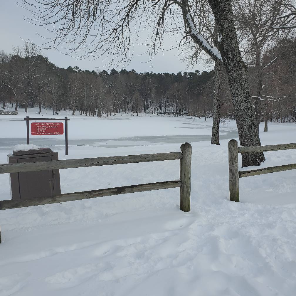
The park interpreter, Heather Runyan, saw Lake Ponder from the upper level of the pavilion, where the CCC dance floor was located.
She grinned and remarked, “This didn’t work out very well for him.” “He found that, as a result of the earthquakes of 1811 and 1812, his land grant was drowned.”
However, if there were no other claims, the government advised him to go to the south and buy some land. Crowley finally built a farmhouse on a ridge west of Paragould, asked others to join him, and a neighbourhood sprang up around it.
The first court, the first church, the first grist mill, and the first post office were all located in this area, according to Runyan.
Crowley’s Ridge eventually came to be used to describe the whole 200-mile ridge.
Crowley’s property gained notoriety as a destination for camping and pleasure because of the springs and the surrounding forest. A campaign to turn the ancient farmhouse into a state park started in 1933. Mrs. Bell Hodges Wall, the secretary of the Paragould Chamber of Commerce who contacted the state legislature, spearheaded the campaign for the park.
Runyan said that there were hardly any state parks during the early stages of the Great Depression. “They had just begun the park system, and right here was a fantastic place with historical and cultural significance. It must become a park.” Runyan cited a letter Wall had written in what he asserted.
The lawmakers said, “Thanks, but no. Who would want to visit a marsh and agricultural area?”
Mrs. Wall persevered, funds were secured for additional property, a park plan was created, and everything was redone. Once more, it was accepted. The first company of the newly established Civilian Conservation Corps went in to establish camp where Lake Walcott is now in late 1933 or early 1934.
Runyan claimed that first, things were a little difficult to live in.
The pavilion where we are standing was built by them as well as digging out Lake Ponder, the swimming lake, by hand. They really lived in tents for the first short period they began building.
The only machines seen in photos taken during the park’s development were a few of trucks; all other labour was done by hand.
The salary was really rather substantial during the depression era, despite the arduous work and sometimes primitive living circumstances. Each man received $30 every month, of which $25 was automatically sent home and the remaining $5 was given to the workers to retain even though there presumably weren’t many places to spend it in the neighbourhood.
The park’s construction took approximately 5 years to complete, ending in 1938. The park received its official dedication on June 21, 1937, making it Arkansas’ fourth state park. The speeches and ceremonies for the opening were held in the amphitheatre, which could initially accommodate 2000 people.
Despite being one of the smallest parks in the state, a lot of people continue to come here, generation after generation. Runyan claims that she has encountered several seniors who recall attending dances at the pavilion on Saturday nights when a juke box was plugged in, as well as individuals who recall visiting the park as a child.
Runyan, “Parents will bring their children with them since they have fond memories of doing so and wish to share those memories with their family. Now, going to the park is practically a ritual in the community.”
Directions
Driving
Crowley’s Ridge State Park is situated two miles south of Ark. 168, two miles west of Paragould on U.S. 412, or 15 miles north of Jonesboro on Ark. 141.
Parking
Parking is available.
Public Transport
Public Transport is available.
