
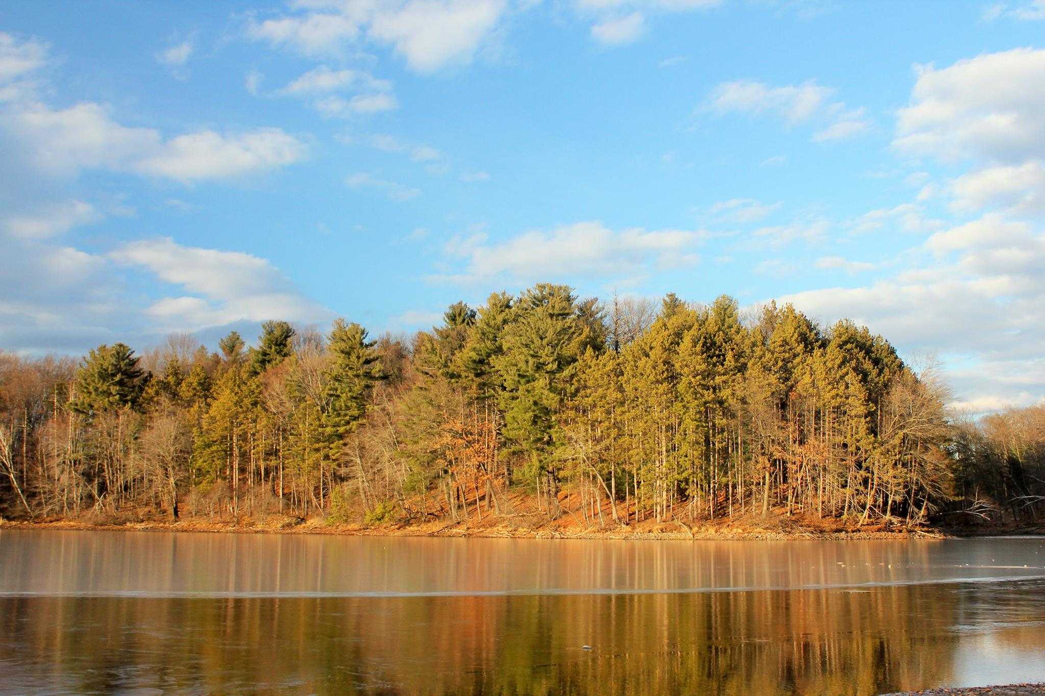
Introduction of Chicopee State Park
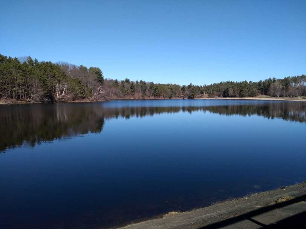
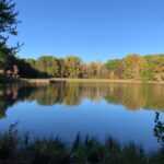
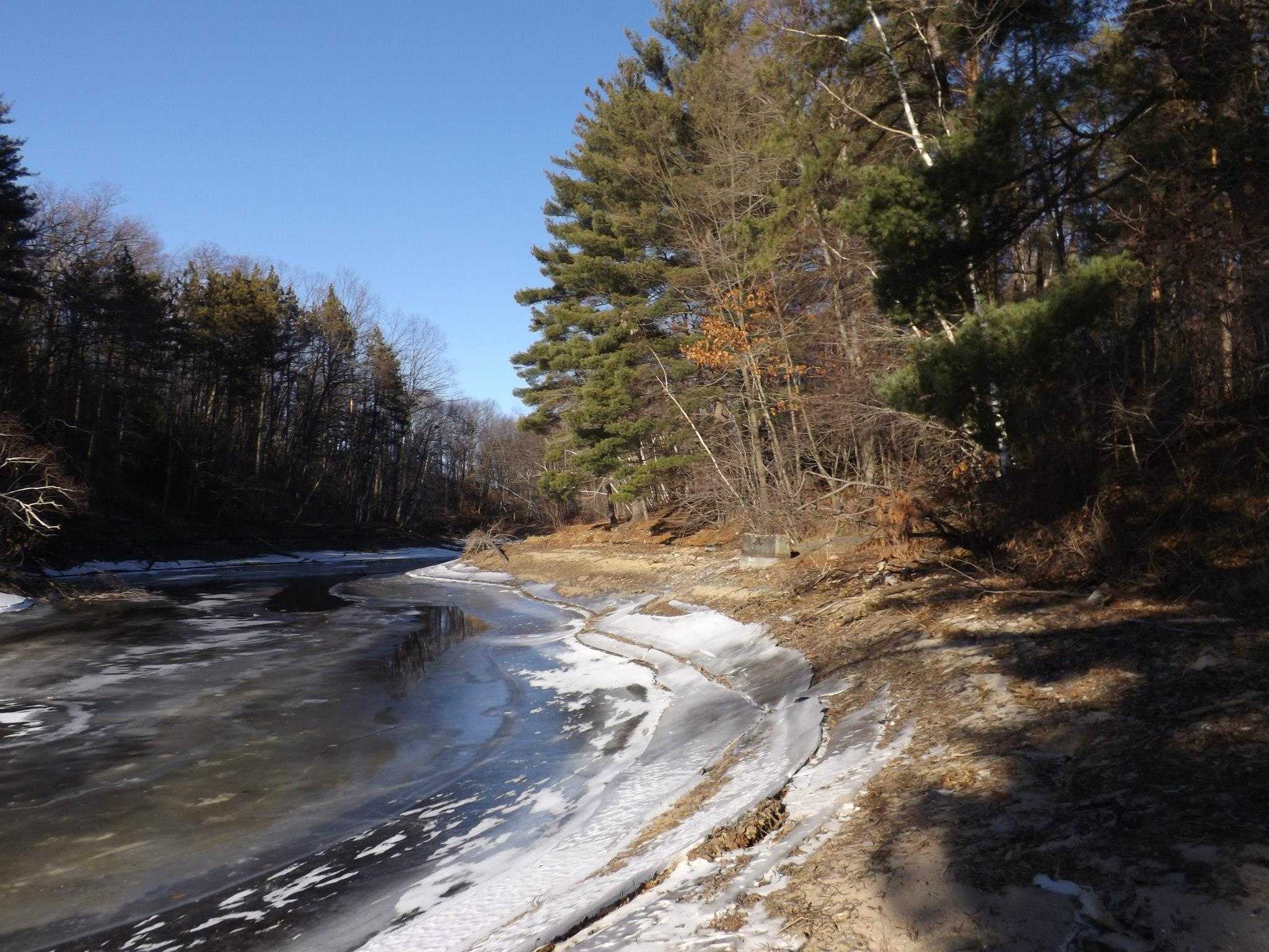
The region has been turned into a highly used active leisure area with a range of activities like as hiking, cycling, canoeing, kayaking, swimming, fishing, camping, and more. Its total size is 575 hectares, including a 25 hectare pond.
Located in central and southern Massachusetts, Chicopee State Park provides picnicking, swimming, and fishing opportunities.
About 100 metres from Springfield, on the east side of Chicopee, is where you’ll find Chicopee State Park. A memorial honouring the Second World War dead and the Battle of Bunker Hill, a significant conflict battle, is located in the park about 400 metres farther on the left.
Chicopee State Park Activities
Fishing
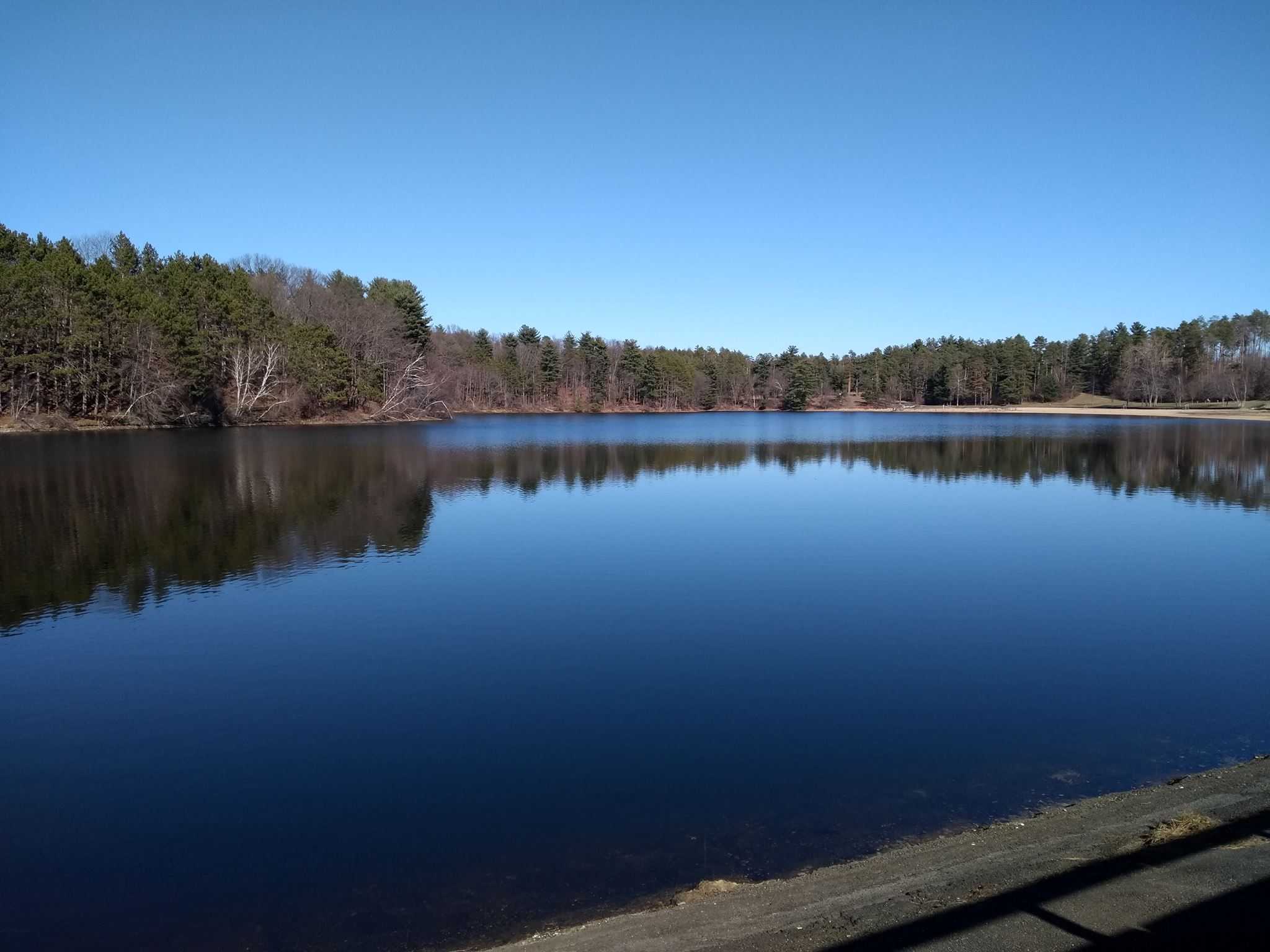
In the reservoir and along Cooley Brook, visitors may go fishing.
Hiking
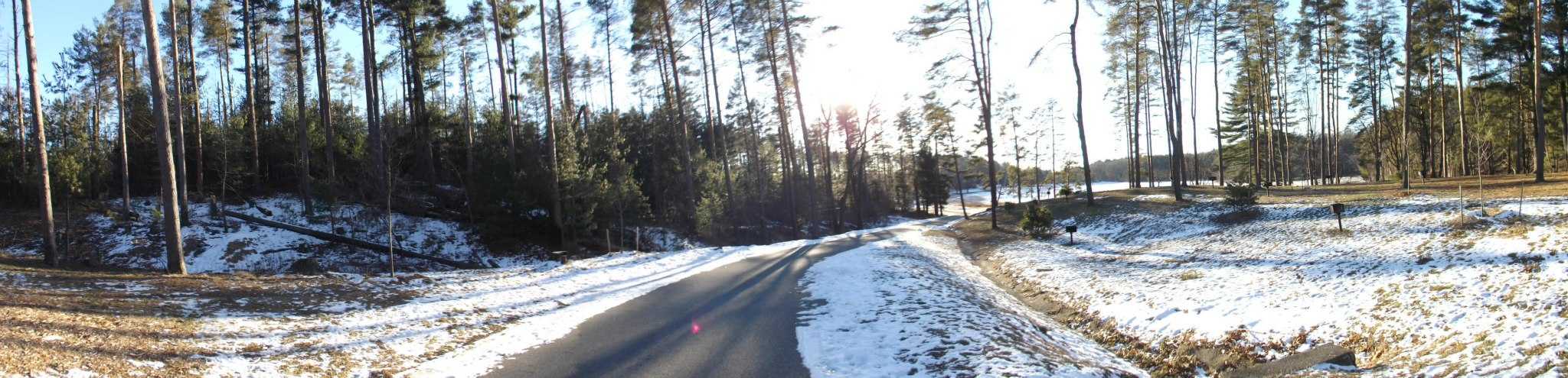
Around the reservoir and along Cooley Brook, there are paths and gravel roads for hikers to use.
Picnicking
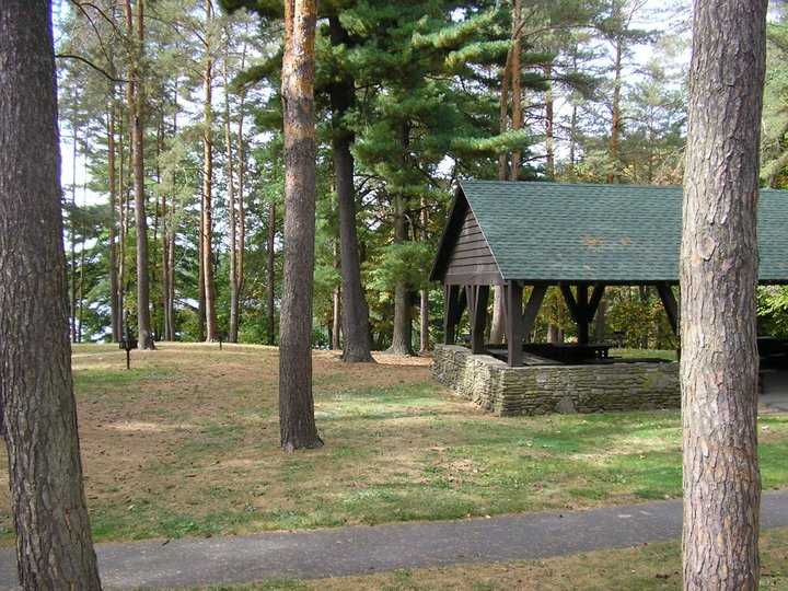
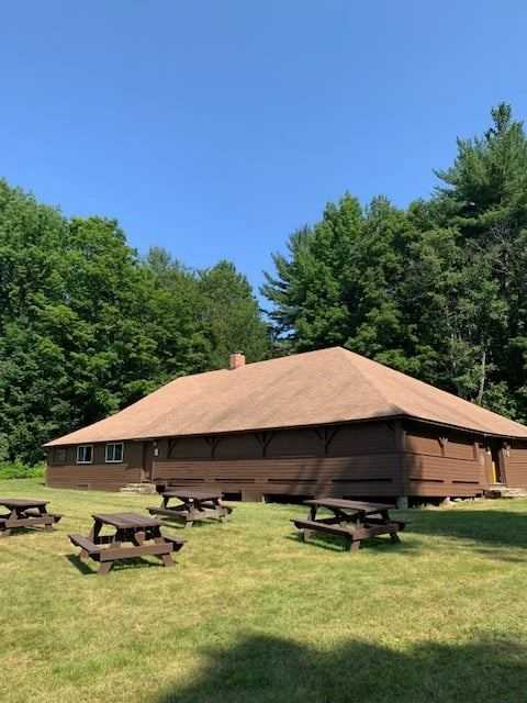
Along the reservoir, there are five picnic sites that are reachable, each with a bathroom.
Water Sports
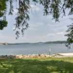
From a public beach at the reservoir, visitors may go swimming.
Other activities
- Mountain biking
- Biking
- Swimming
- Cross-country skiing
- Educational programs
Chicopee State Park Facilities
- Grills
- Group day use
- Paved bike path
- Pavilion
- Picnic area
- Restrooms
Chicopee State Park Accessibility
- Accessible bath house
- Accessible pavilion
- Beach wheelchair
Chicopee State Park Restrictions
- No alcohol
- No ice fishing
Chicopee State Park History
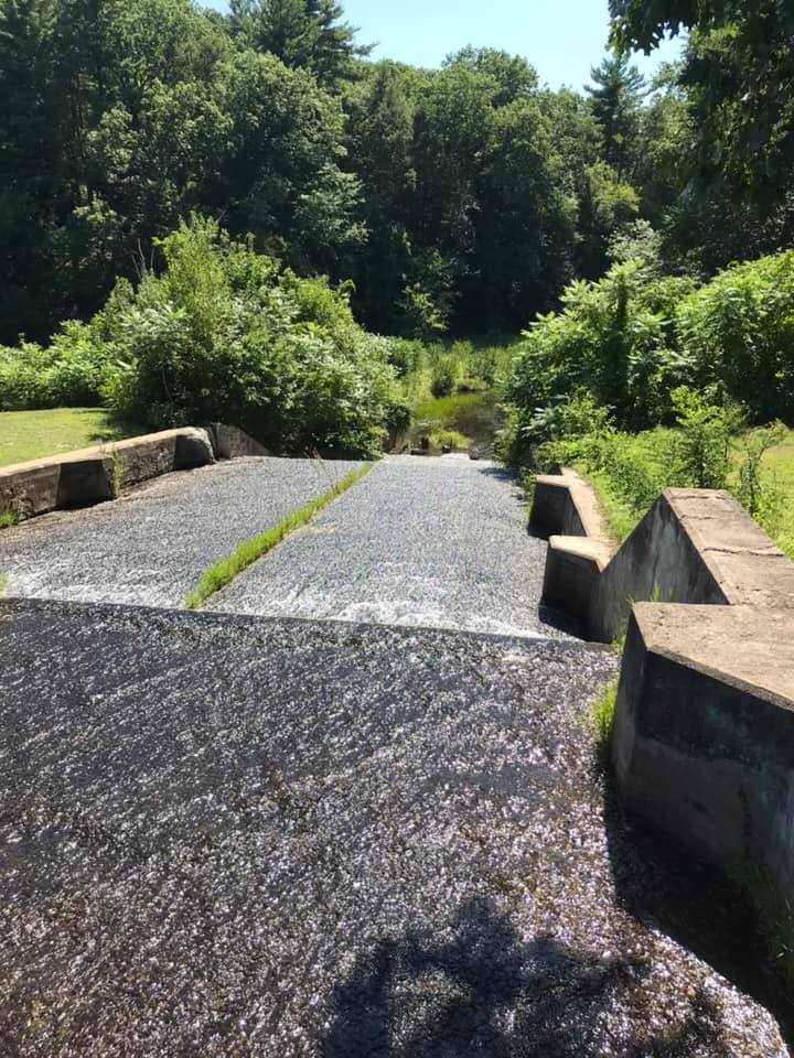
The park was formerly home to reservoirs constructed in 1896, 1912, and 1926 to provide water for the city of Chicopee. It was formerly known as the Cooley Brook Reservoir and Watershed. Between 1935 and 1937, the Civilian Conservation Corps worked in the watershed, constructing roads, trails, pedestrian bridges, adding riprap to the reservoir, and planting trees, among other improvements. In the 1960s, the state assumed control of the location and added administrative and recreational amenities.
Directions
Driving
The park is situated in the Ct River Valley’s southern region.
I-90 E should be taken east from the west. Take exit 6 and travel 0.5 miles to Springfield. At the split, bear right and proceed 0.2 miles on Burnett Road. Carry on Burnett Road. The park will be 0.3 miles on the left.
I-90 W should be taken west from the east. Go 0.3 miles and leave at 6 toward Springfield. At the fork, bear right and proceed 0.2 miles on Burnett Rd. Carry on Burnett Road. The park will be 0.3 miles on the left.
I-91 S, FROM THE NORTH. To get onto I-90 E, take exit 14. approaching Springfield, 0.5 miles, take exit 6. At the fork, bear right and proceed 0.2 miles on Burnett Rd. Carry on Burnett Road. The park will be 0.3 miles on the left.
I-91 North from the south. To get onto I-90 E, take exit 14. Take exit 6 to go 0.5 miles to Springfield. At the fork, bear right and proceed 0.2 miles on Burnett Rd. Carry on Burnett Road. The park will be 0.3 miles on the left.
Parking
Parking is available.
Public Transport
Public Transport is available.

