
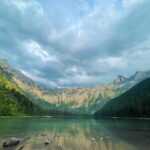
Introduction of Benicia State Park
History
The cove north and west of Benicia was given the Spanish name Puerto de las Asunta (Assumption Harbor) because Don José de Caizares, a diarist on the 1769 overland Portola expedition and a passenger on the San Carlos, the first ship to enter San Francisco Bay on August 5, 1775, discovered it on that feast day. On Caizares’ classic map of San Francisco Bay from 1781, the cove is labelled as “J.” The Navy frigate Southampton, which Commodore Thomas ap Catesby Jones sailed to the cove in 1849 with a small fleet, is the source of the bay’s current name, Southampton Bay.
The Benicia SRA’s sandstone point has many names, including Rocky Point, Quarry Point, and Dillon Point now. During the 1849 California Gold Rush, stonecutter Patrick Dillon emigrated to California from Tipperary, Ireland, and eventually settled in Benicia. The tidal flat at Southampton Bay and the Rocky Point peninsula were leased to Dillon by General Vallejo for a sandstone quarry. The Dillon family and succeeding owners farmed sheep and vines after the sandstone ran out until the State bought the land in 1967.
Habitat and wildlife
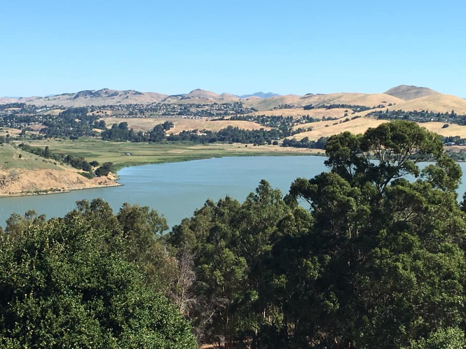
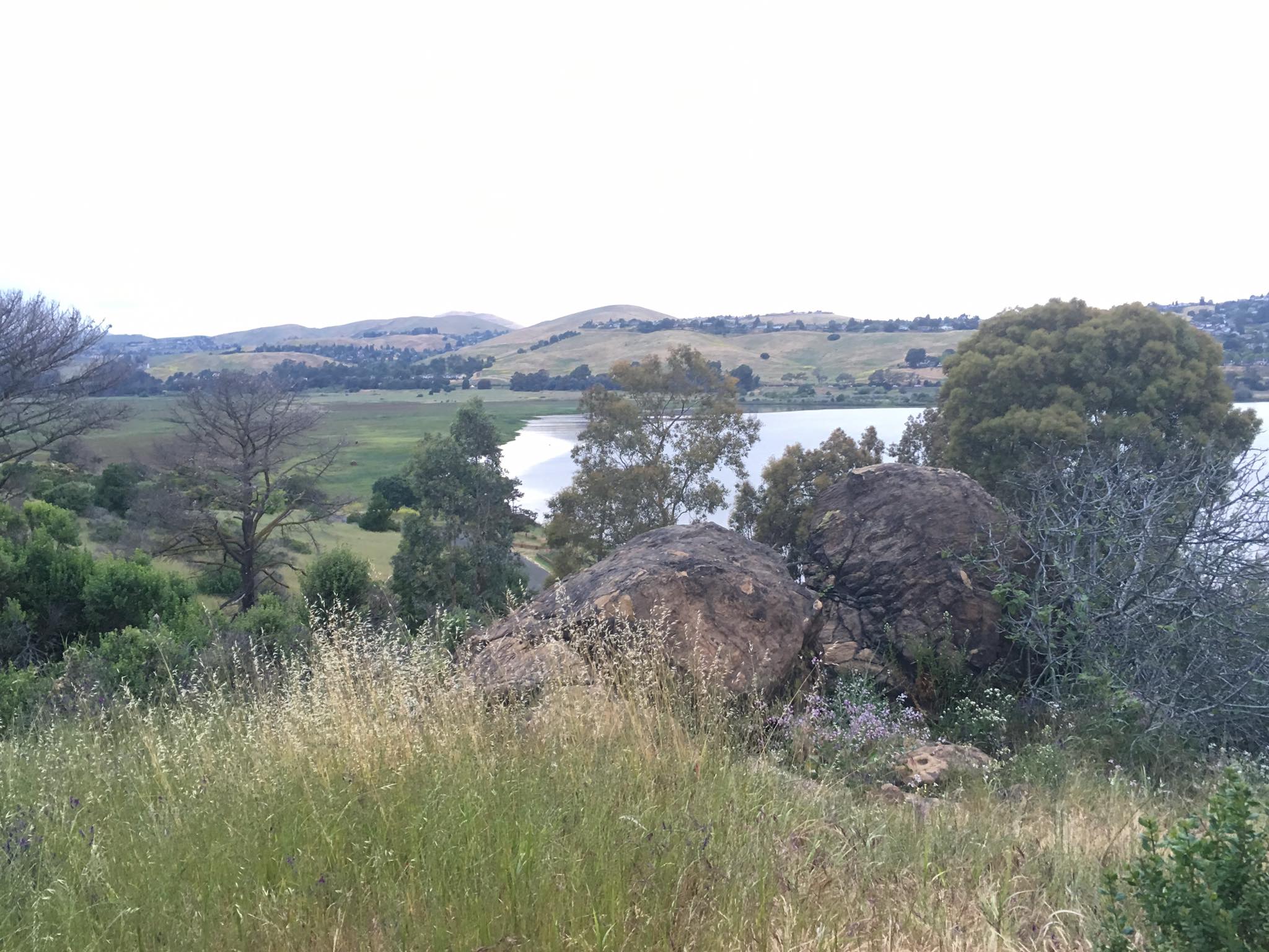
Of the park, the Southampton Bay Wetland Natural Preserve accounts roughly 70%. More than 1,000 feet (300 metres) of silt and clay deposits were eroded from upriver to create the Southampton mudflat. Brackish marsh, saltwater marsh, and freshwater marsh are the main ecosystems in this area. Marsh species including salt grass (Distichlis spicata), pickleweed (Batis maritima), coyote bush (Baccharis pilularis), and soft bird’s-beak cover this unusual and endangered wetland environment (Cordylanthus mollis). An endangered member of the snapdragon family, bird’s-beak is an annual plant that is gray-green.
The federally endangered northern salt marsh harvest mice are among the park’s animals (Reithrodontomys raviventris halicoetes). Coyotes (Canis latrans), river otters (Lontra canadensis), muskrats (Ondatra zibethicus), and California golden beavers are among the other creatures that inhabit the area (Castor canadensis subauratus). In 2007, the beaver most likely moved out from the Sacramento-San Joaquin River Delta. Historically, the Delta likely had the highest beaver population in North America prior to the California Fur Rush in the late eighteenth and early nineteenth century. More than any other single element, the early fur trade in California was what first made the West, and the San Francisco Bay Area in particular, accessible to international trade. There is possibly no place of equivalent size in the entire continent of America that has so many of these highly sought-after creatures, according to explorer Captain Thomas Farnham’s 1840 report.
The Benicia SRA has been named an Important Bird Area because it provides habitat for black rails and the critically endangered California clapper rails (Rallus longirostris obsoletus) (Laterallus jamaicensis). Other unusual species include salt marsh common yellowthroats, Suisun song sparrows, and Virginia rails (Rallus limicola) (Geothlypis trichas sinuosa). Many ducks spend the winter in the park while migrating along the Pacific Flyway.
Recreation
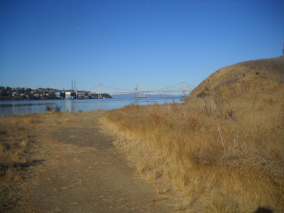
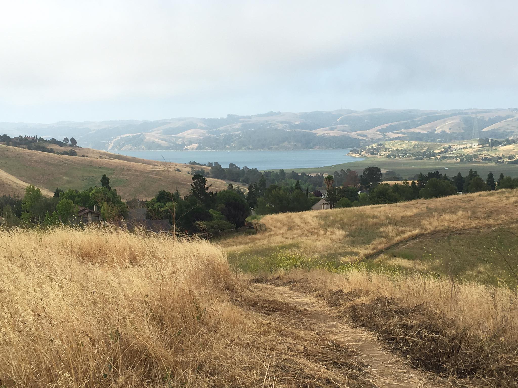
The 2.5 miles (4 km) of roads and bike paths in the park are used by cyclists, runners, walkers, and roller skaters. Beginning at the Military West gate, the Hike and Bike Trail—two parallel, paved, and easily accessible trails—runs for 0.75 miles to the main park entrance before intersecting Dillon Point Road for 1.5 miles. The Bay Area Ridge Trail and San Francisco Bay Trail both include the trail network. The 1.5-mile hike out to Dillon Point on the park road is the most well-liked. One mile into the park, at the group picnic spot, you may have a picnic. At the further end of the picnic area is the Forrest Deaner Native Plants Botanic Garden, which has exhibits and educational materials on plants indigenous to the Bay Area. You may follow the path of the 50-mile Carquinez Strait Scenic Loop Trail, which will eventually encircle the strait, from the top of Dillon Point.
Activities
Bicycling
The Benicia Bay Trail, a section of the Bay Area Ridge Trail, permits both bicycles and dogs. Together with the Bay Area Ridge Trail Coalition and the San Francisco Bay Trail Foundation, California State Parks constructed the Benicia Bay Trail. 2.25 miles of paved roads and bike lanes go through the park. The Military West gate is where the Hike and Bike Trail begins. It travels for 0.75 miles to the main park entrance before connecting Dillon Point Road for 1.5 miles.
Auto/Motorcycle
RVs are allowed to overnight camp close to the park entrance en route for a charge, space allowing.
Camping
There are three “Enroute” campsites that are open for overnight stays on a first-come, first-served basis without the ability to make reservations. Only completely self-contained mobile homes or cars with trailers are permitted for this type of camping. Tents are prohibited.
Fishing
Sturgeon, starry flounder, and striped bass fishing is excellent from the shore at Dillon Point. Adult anglers in California must have a current fishing licence.
Hiking
Benicia provides a few alternative bay-side strolls for hikers. The Bay Area Ridge Trail, an expansive future route, includes the trail network.
The 1.5-mile hike to Dillon Point along the park road is the most well-liked. Although cars are allowed to use the route (for a fee), pedestrians, runners, and cyclists typically outnumber cars by a large margin. A well-liked fishing spot is at Dillon Point, where local fishermen cast for striped bass, sturgeon, and starry flounder.
A other trail that starts close to the park’s entrance has an exercise par-course so you may turn your stroll into a workout. From the workout track, paths extend into the nearby wetlands and to the water’s edge. The marsh is a fantastic place to go bird viewing.
Horseback Riding
The 2.5 miles of cycling and road pathways in the park are accessible to horses.
Picnicking
Along the Bay Area Ridge Trail, there are several accessible seats. A mile into the park, next to the group picnic area, are the trailhead, picnic tables, and parking.
