
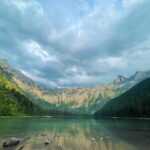
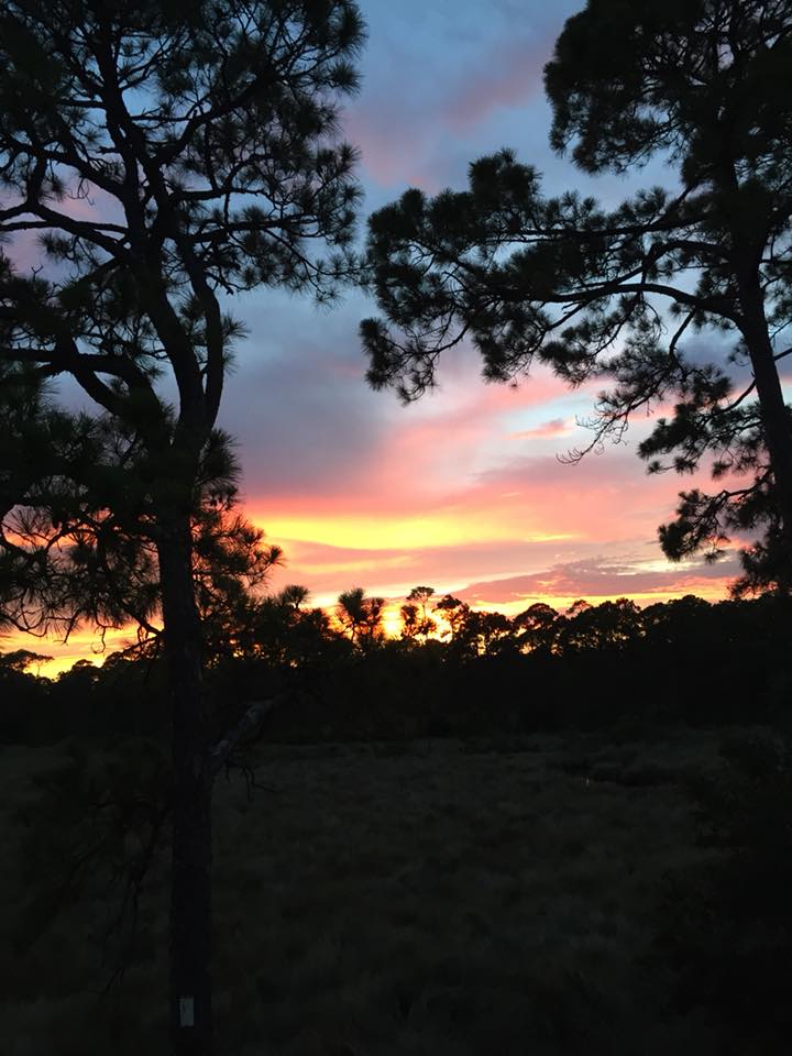
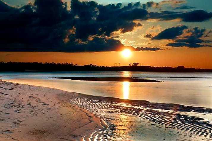
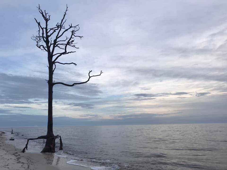
Introduction of Bald Point State Park
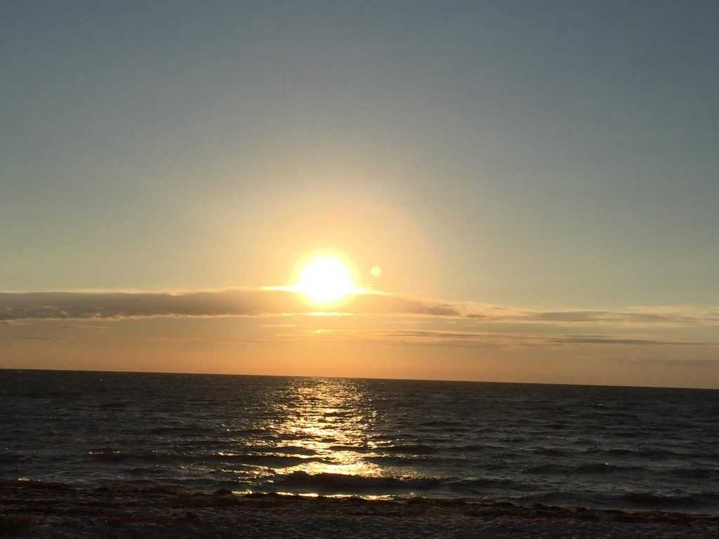
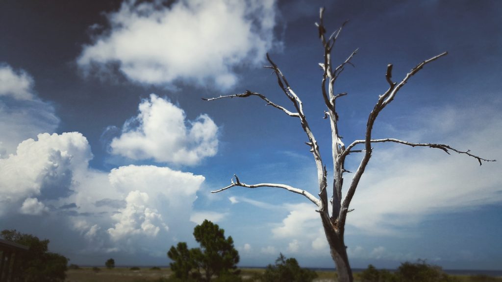
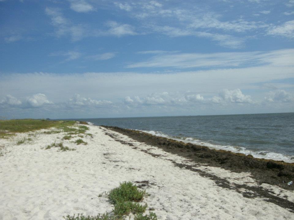
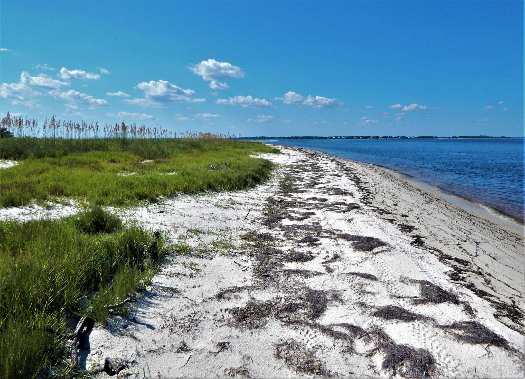
This state park, located on the south side of Ochlockonee Bay, provides excellent birding and wildlife viewing, especially in the fall and winter. Its geography and location give it a great view of the fall hawk migration, when Peregrine Falcons, Northern Harriers, and Cooper’s Hawks cruise down the beach. Overwintering shorebirds such as Piping Plovers visit the beach and estuary, and horseshoe crabs spawn there in the spring.Red Knots and Marbled Godwits congregate to eat the crab eggs. In the fall, the day after a cold front passes through the area is ideal for birding. Over 25 wood-warbler species have been identified in the oaks and yaupon hollies that line the park road and surround the parking area. Every year, Scissor-tailed Flycatchers and Groove-billed Ani are counted, and rarities like the Tropical Kingbird have appeared in recent years.. Take the paved trail to the marsh overlook, where you can see and/or hear Clapper Rails and Marsh Wrens. A large network of hiking trails begins 1.6 miles south of the main entrance gate, on the west side of the road, opposite the Sunrise Beach access. Winter sparrows and Brown-headed Nuthatches frequent these trails (resident). When water levels are favourable, look for Wood Ducks in freshwater marshes, swamps, and ponds. In the fall, the park serves as a staging area for migratory butterflies. Many monarchs, gulf fritillaries, common buckeyes, long-tailed skippers, and Ocola skippers can be seen.
Camping
Bald Point State Park Activities
Boating
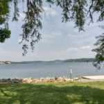
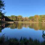
Canoeing and kayaking are popular activities on Chaires Creek and Tucker Lake, a large brackish lake connected to Ochlockonee Bay via Chaires Creek. Chaires Creek is a short paddle from the Tucker Lake canoe/kayak launch if you want to explore the extensive tidal creek system. Take the last dirt service road on the right off Range Road, 200 yards west of the Chaires Creek Bridge, to get to the canoe and kayak launch. During dry conditions, the dirt parking area at the launch site can accommodate 12 vehicles. The launch area is a flat sandy area near the water’s edge where vehicles can unload canoes and kayaks.
Fishing
Surf fishing and wading out to oyster bars are popular pastimes at Bald Point’s North end and Sunrise entrances. A small fishing pier is also located in the park where Bald Point Road ends at Ochlockonee Bay. This is located near the North End Entrance. Redfish, trout, flounder, and mackerel are among the saltwater fish found in the brackish tidal waterway. Visitors can fish from the Range Road bridge over tidal Chaires Creek, as well as in Tucker Lake by canoe or kayak. Common catches include sea trout, redfish, flounder, and sheepshead. This is also a great place to cast a mullet net or catch blue crabs.
Picnicking
Three covered pavilions with picnic tables and standing grills are located near the beach. There are restrooms nearby. The use of alcoholic beverages is prohibited.
Bald Point State Park Location
Bald Point State Park is one mile south of Ochlockonee Bay on US Route 98. For three miles, take State Road 370 to Bald Point Road.
Parking
Parking is available
Public Transport
Public transport is not available
